
Projects
Selected reference projects from the survey flight to the finished data product.
Reference projects
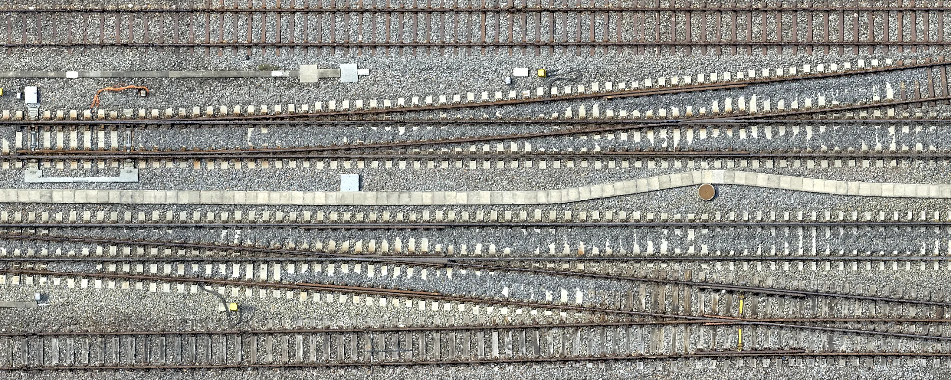
Drone Survey of Zurich Tiefenbrunnen Station
High-resolution drone survey of Zurich Tiefenbrunnen station in the LV95 SBB reference frame as a planning basis for the 2029 track renewal.
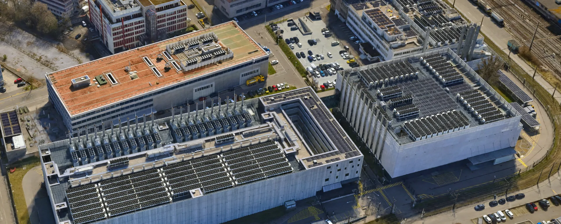
3D Mesh for the Urban Development of Opfikon
Aerial data for urban development in Opfikon, flown by helicopter just 700 m from the runway at Zurich Airport, closely coordinated with Skyguide.
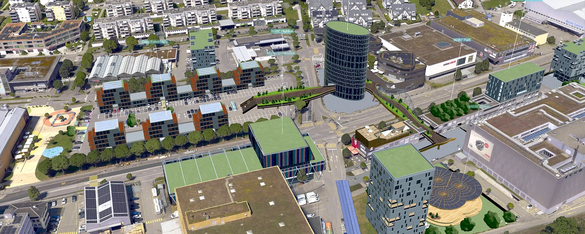
3D Mesh for the Vision (WiVo*) of the Municipality of Volketswil
High-performance 3D mesh powering the 3D viewer of the WiVo* location development initiative in Volketswil.
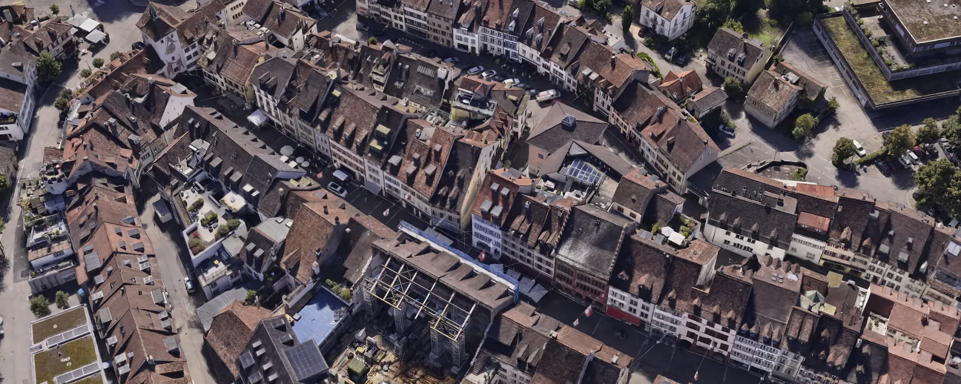
3D Mesh in LUUCY and icRoom for the City of Liestal
3D mesh for urban planning in Liestal. Thanks to a custom LOD workflow, the model runs live at 60 fps in the icRoom projection.
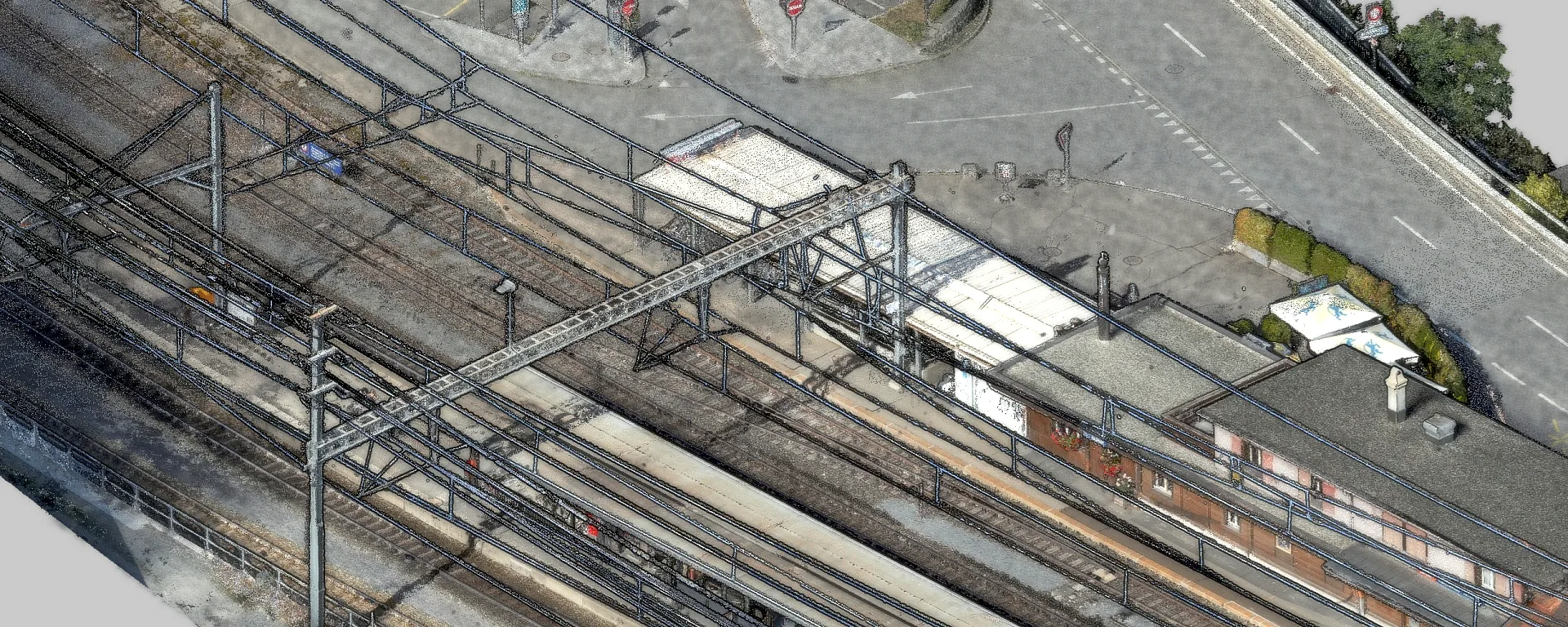
Point Cloud Fusion at Reichenau-Tamins Station
At the Reichenau-Tamins RhB station, we merged drone imagery, airborne LiDAR and terrestrial scans into one point cloud and verified its accuracy.
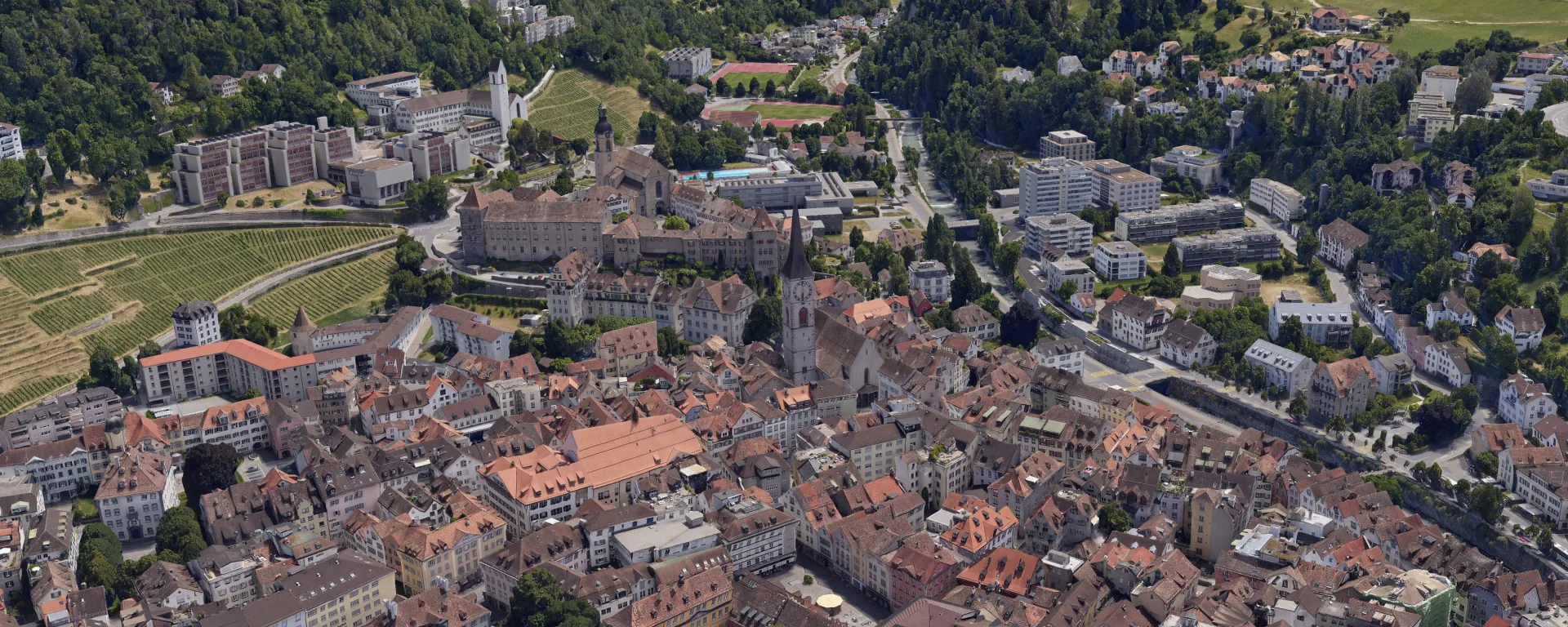
Orthophoto and 3D Mesh for the City of Chur
The city of Chur keeps its geodata up to date. Orthophoto and 3D mesh from a helicopter survey, freely accessible to everyone in the 3D city map.
Planning your own project?
We are happy to advise you without obligation and show which data products best suit the project.