Skip to content
Applications

Applications in tourism, marketing and media

We turn real places into interactive, georeferenced 3D experiences for web platforms, immersive exhibitions and digital communication campaigns.

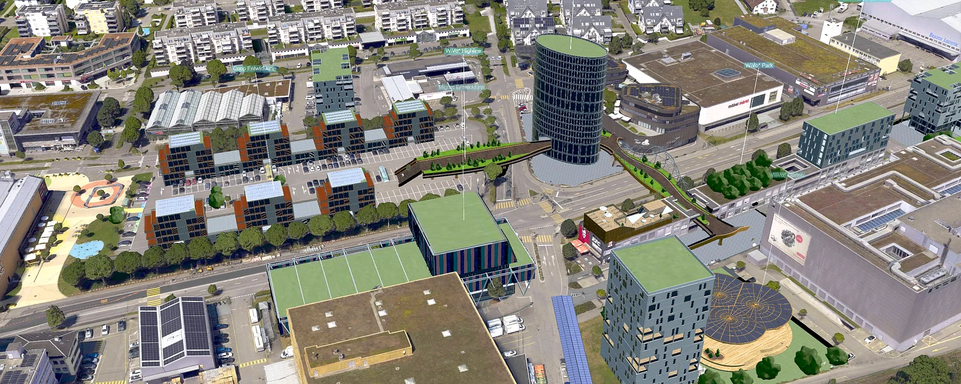
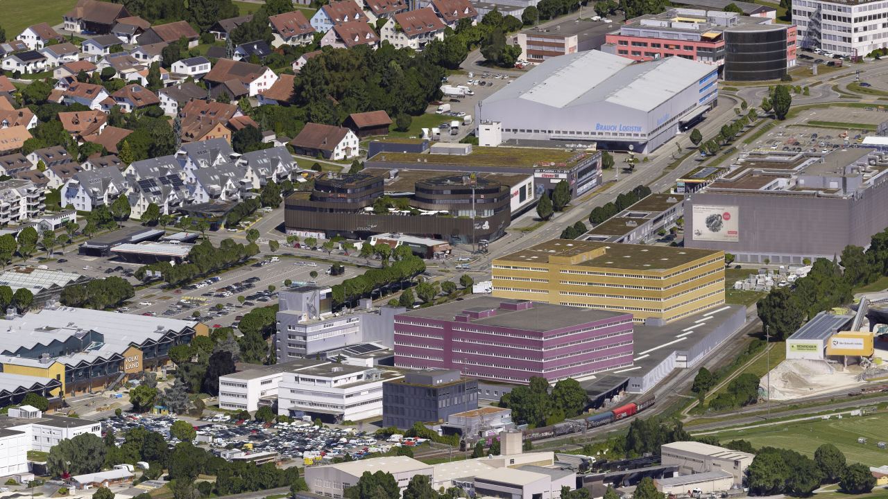
3D mesh of Volketswil with commercial area, residential neighbourhoods and railway line

Interactive 3D web viewers for location marketing

High-resolution 3D meshes allow whole destinations or sites to be explored smoothly in a web browser, without additional software. Buildings, squares and labels are shown photorealistically and invite residents and investors on a virtual tour.

Related services
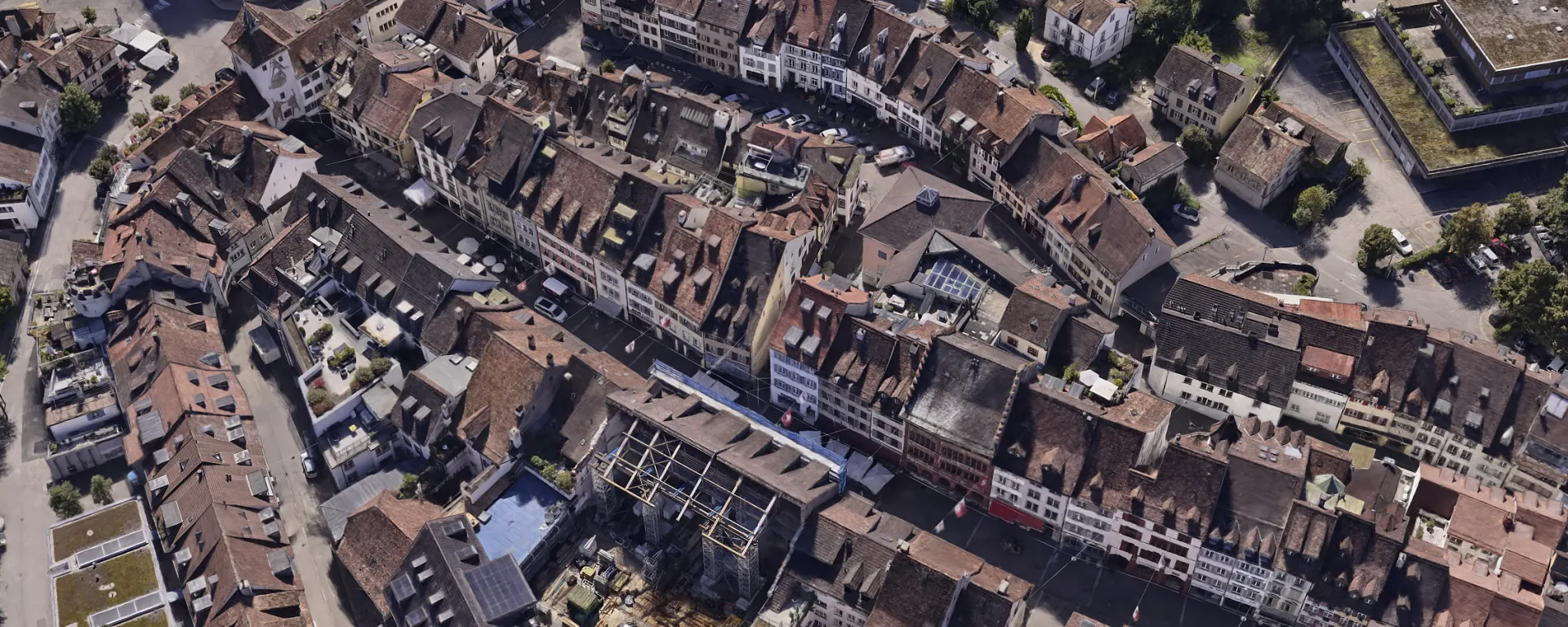
3D mesh of the old town of Liestal with roofs and lanes

Immersive spatial projections and exhibitions

For multi-projection systems and CAVE installations we prepare high-performance 3D city and terrain models with stable frame rates. We match tiling, levels of detail and texture resolution exactly to the interfaces of your media and projection technology.

Related services
Gaussian splat of Räterschen station with platforms, tracks and trees

Photorealistic visualisation with Gaussian splats

3D Gaussian splatting captures complex structures such as vegetation, reflective glass facades or water with outstanding fidelity. The method delivers spectacular visual results for architectural competitions, trade fairs and high-quality media productions.

Related services
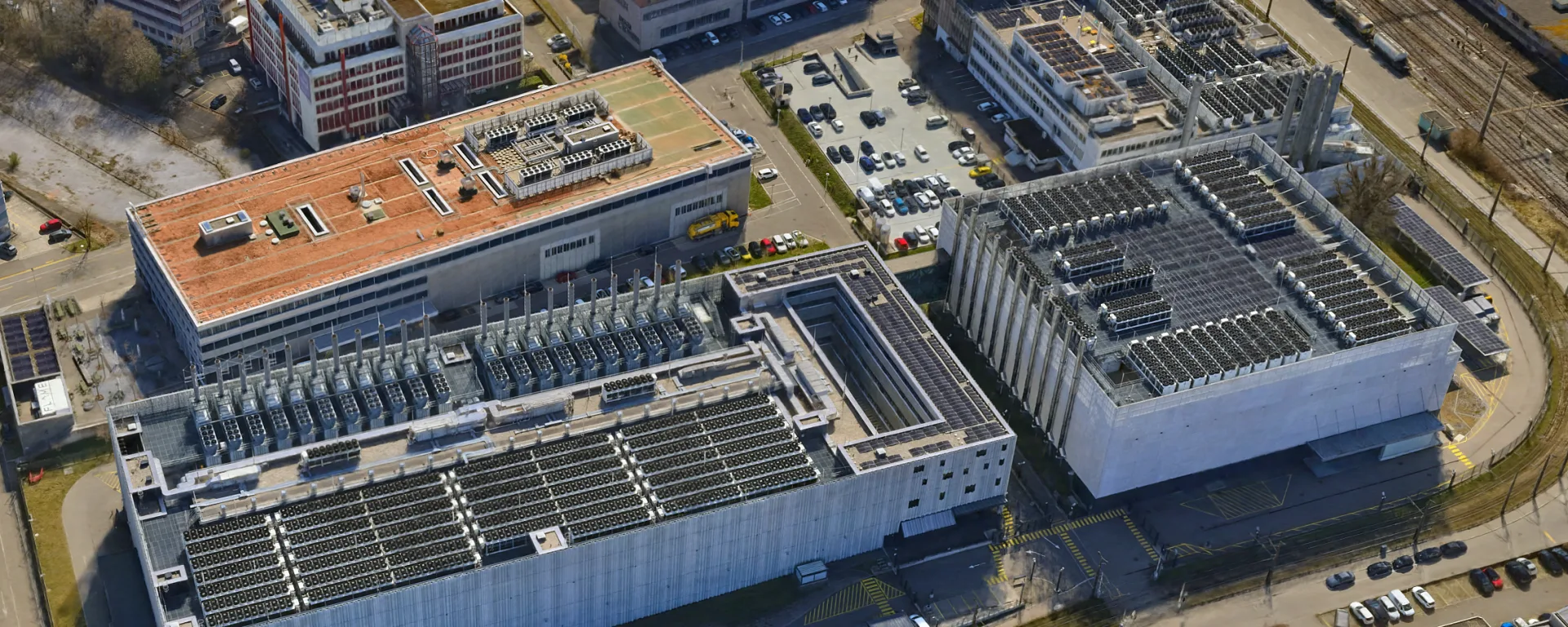
3D mesh from Liestal with road ramps, green spaces and residential buildings

Data for game engines and GIS

We optimise geodata for direct import into real-time engines such as Unreal Engine and Unity and into GIS environments. The handover is standardised, as Cesium 3D Tiles, ArcGIS Scene Layer Package or a 3D format for Blender.

Related services
View from the helicopter over a hilly landscape with clouds

Virtual flights and immersive experiences

On the basis of our dense 3D meshes and Gaussian splats we create tailored scenes for virtual reality (VR) and Unreal Engine for photorealistic virtual flights. Users control the flight interactively with a VR headset, or the scenes serve to generate cinematic camera moves for presentations fully automatically.

Related services
Gaussian splat of a building with a green roof and a solar installation

Visual communication and media content

From high-resolution orthophotos, oblique aerial images and rendered 3D models we generate true-to-scale images for brochures, websites and reporting. The detailed perspectives convey complex spatial situations immediately and give publications a high-quality look.

Related services
Why Geotrend

What you can expect from us

High-performance visualisation

We optimise 3D meshes and Gaussian splats for the highest frame rates with large datasets. The display stays smooth and sharp in the web browser and in spatial projections.

Handover to suit the platform

We deliver data that fit browser viewers, game engines and projection systems exactly. All models are placed correctly in the coordinate system you require.

Geodetic accuracy

Our 3D scenes are created directly from precisely surveyed aerial images. They can be overlaid exactly with official plans and GIS data.

Everything from one source

From the flight to the finished data model, everything is done in house. You speak directly with the engineers who do the work, without anyone in between.

Frequently asked questions

Which 3D and web platforms are supported?

We deliver native data structures for Cesium 3D Tiles, Esri ArcGIS (SLPK), LUUCY and for presentation systems such as the icRoom by Inside Reality or Birdly. For game engines and visualisation software such as Unreal Engine, Unity, Blender or Cinema 4D we hand over optimised vector and exchange formats such as FBX, OBJ or glTF.

What are the differences between a 3D mesh and Gaussian splatting?

3D meshes provide exact, measurable polygon geometry and can be used universally in CAD, BIM and GIS. Gaussian splats stand out through outstanding photorealism with complex vegetation or fine reflections, but they require specialised viewers. We often create both from the same flight.

Can your own CAD and planning data be integrated?

Yes, all models are referenced in the Swiss coordinate system LV95 and match official geodata exactly. This allows designed buildings, location information and interactive tours to be integrated directly into the scene of the existing situation.

Is there a limit to the extent of a 3D scene?

Through hierarchical levels of detail (LoD) and spatial tiling, even large areas can be shown without loss of performance. Even models of entire cities can be navigated smoothly in a web browser.

Do you create 3D views of ski areas for mountain railways?

Yes. A survey flight by drone or helicopter produces photorealistic 3D meshes or Gaussian splats of slopes, lifts and surroundings that can be rotated in the browser, for example for the website, for presentations or for planning new installations. From the same images we also produce orthophotos and terrain models for slope construction and planning on request.

Planning a visualisation?

Tell us about your project. We will show you what is possible.