3D Mesh for the Vision (WiVo*) of the Municipality of Volketswil
High-performance 3D mesh powering the 3D viewer of the WiVo* location development initiative in Volketswil.
Project data
About this project
Under the WiVo* brand, Volketswil's location development initiative shows how the municipality between Zurich and Winterthur intends to develop as a place to work and live. MAS StadtRaum Architekten commissioned us to provide the base data for a 3D scene that makes this vision tangible for residents and businesses.
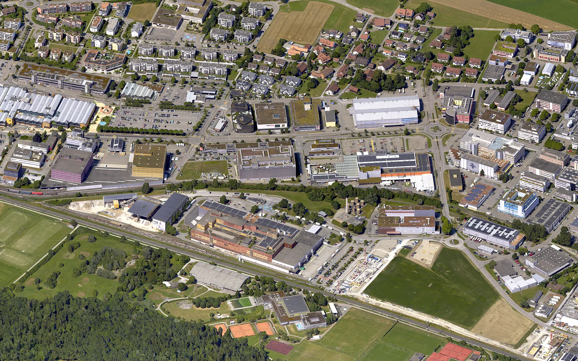
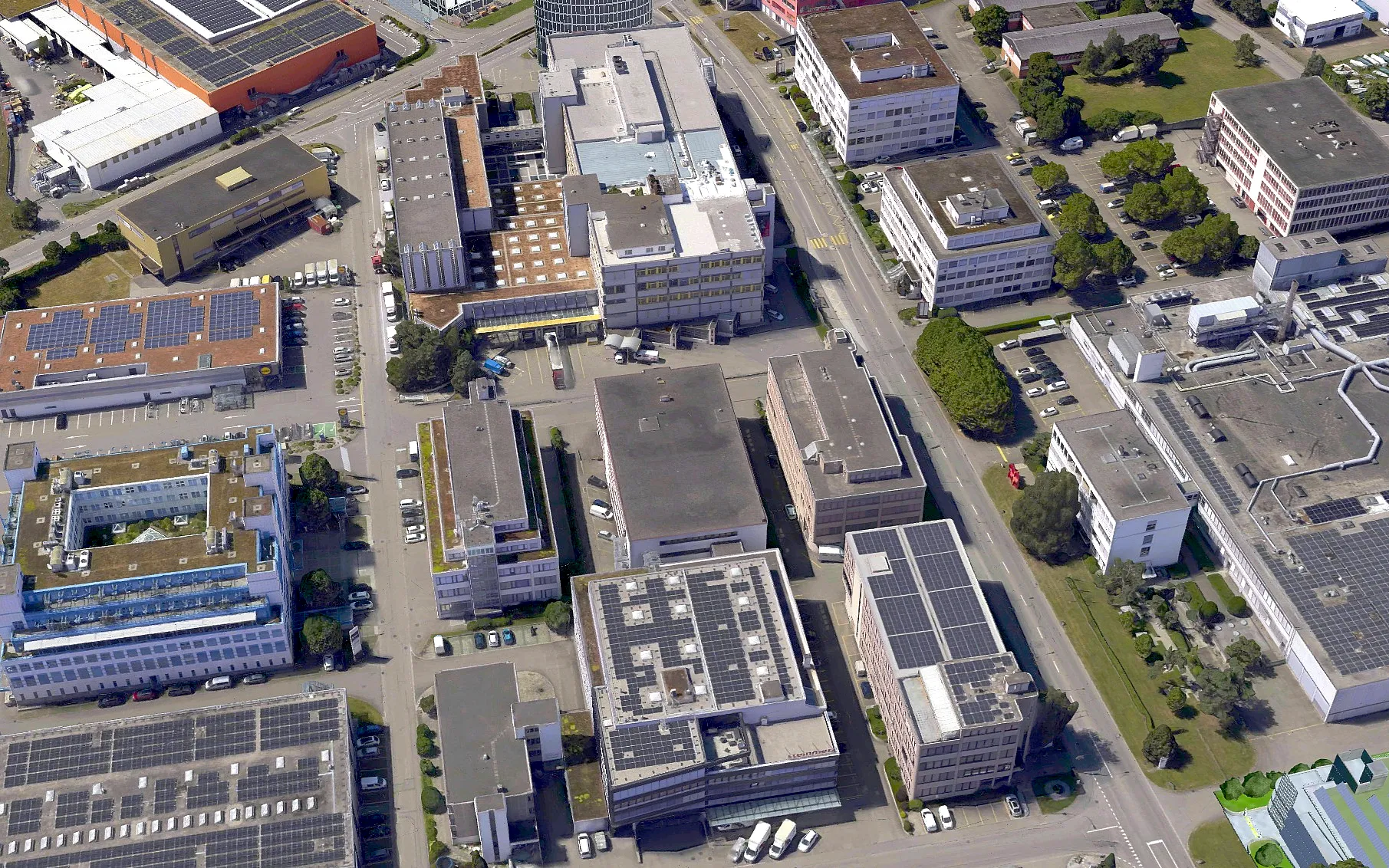
We surveyed the 3.3 km² area by helicopter and processed more than 6,300 aerial images. The result is a textured 3D mesh and a true orthophoto at 3 cm/px resolution. 81 ground control and check points ensure accuracy, with an RMSE of 1.15 cm.
A key requirement was performance, since the scene runs directly in the browser. When processing and texturing the mesh, we made sure the model renders smoothly despite its size. As in all our projects, the data was created in close collaboration with the client, in this case with MAS StadtRaum Architekten and with Birdly by Somniacs, so that it truly works in its intended use.
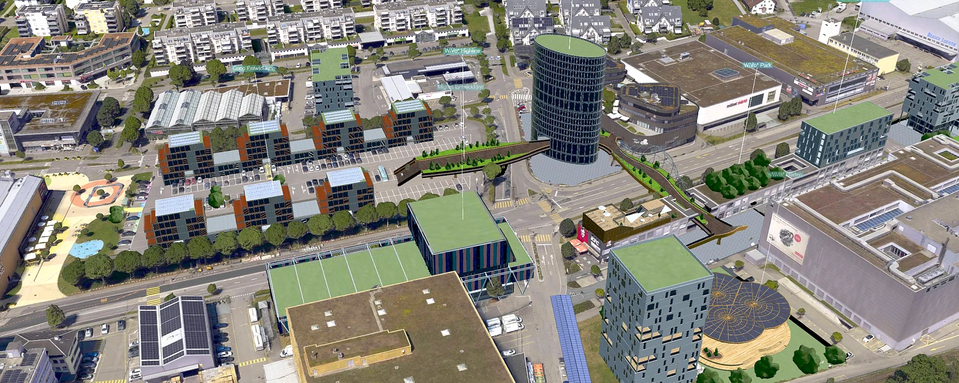
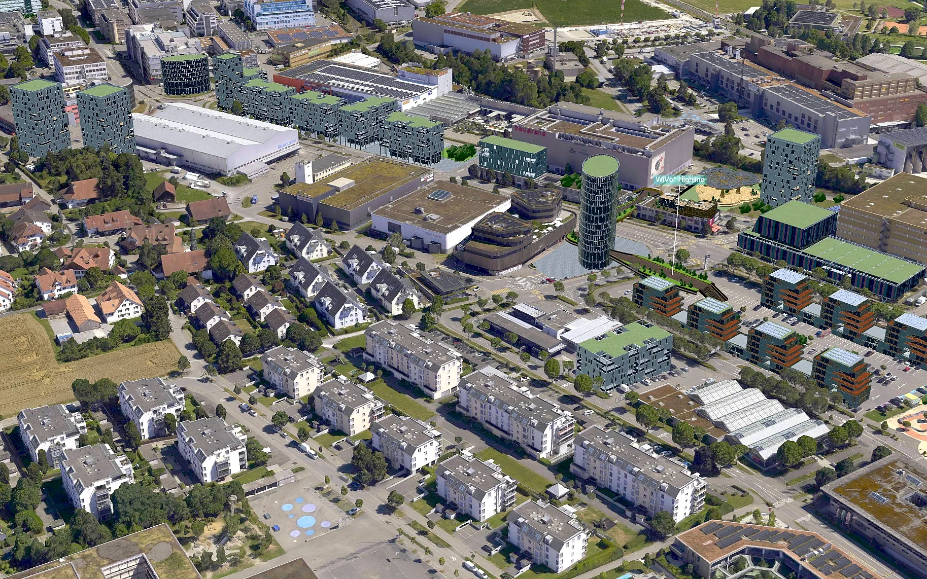
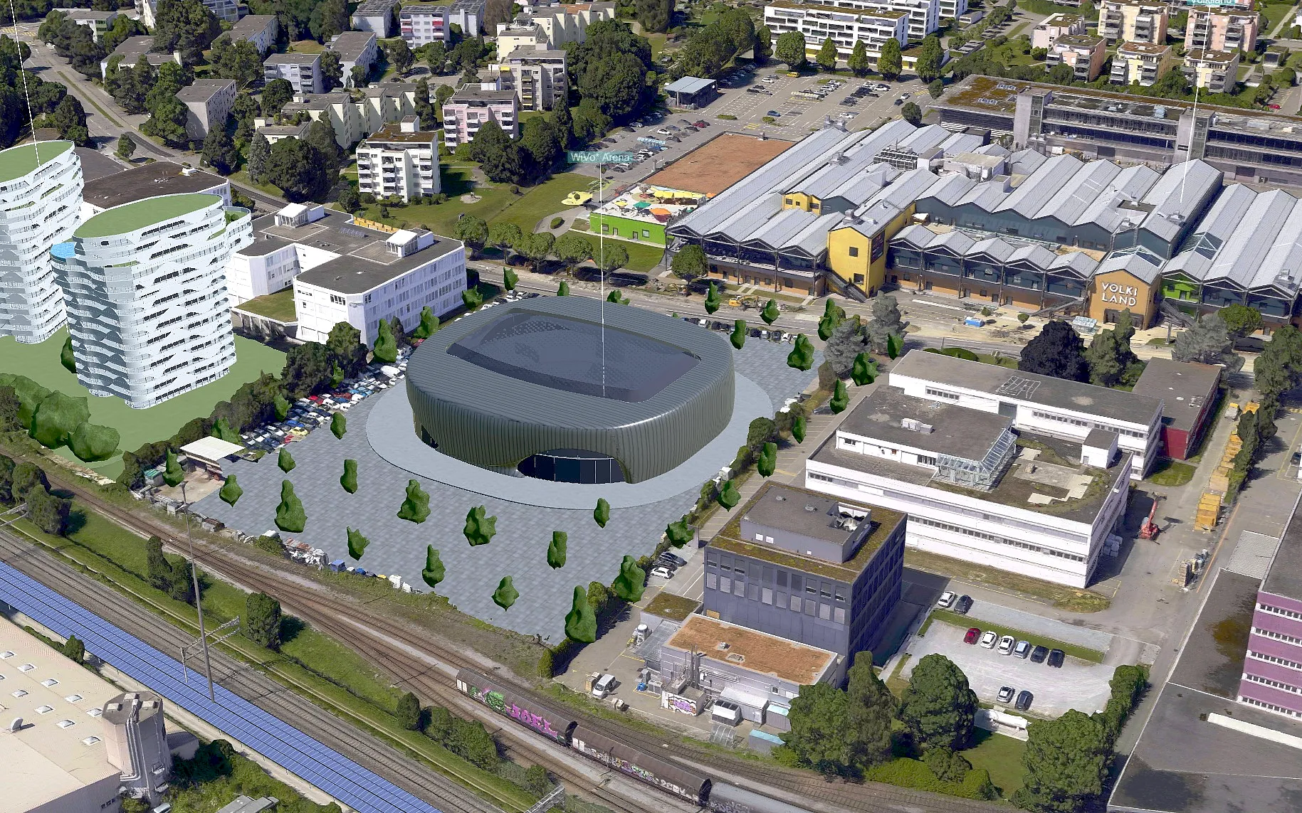
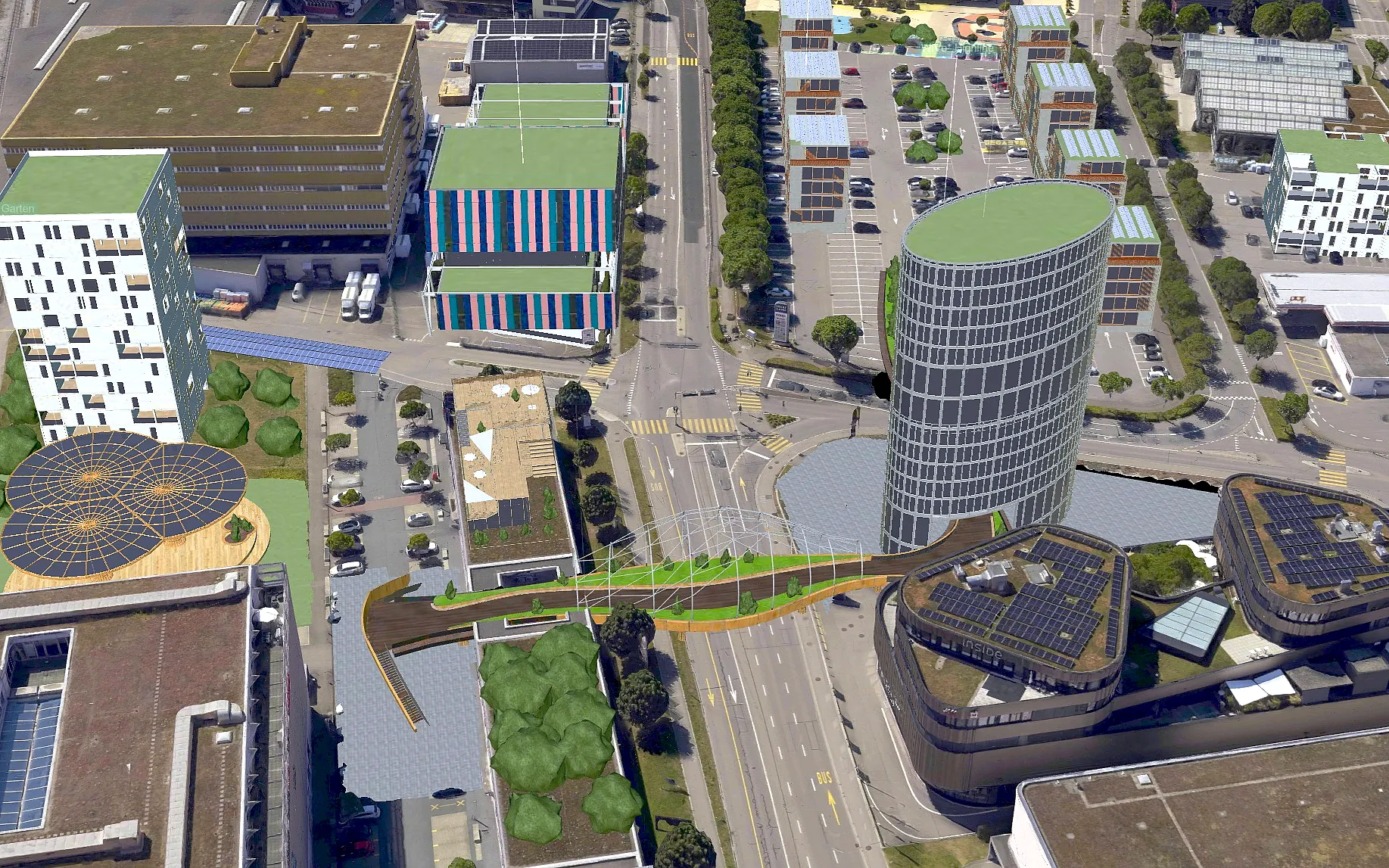
MAS StadtRaum Architekten then extended the scene with CAD data of the planned development and added further content such as company locations and virtual tours.
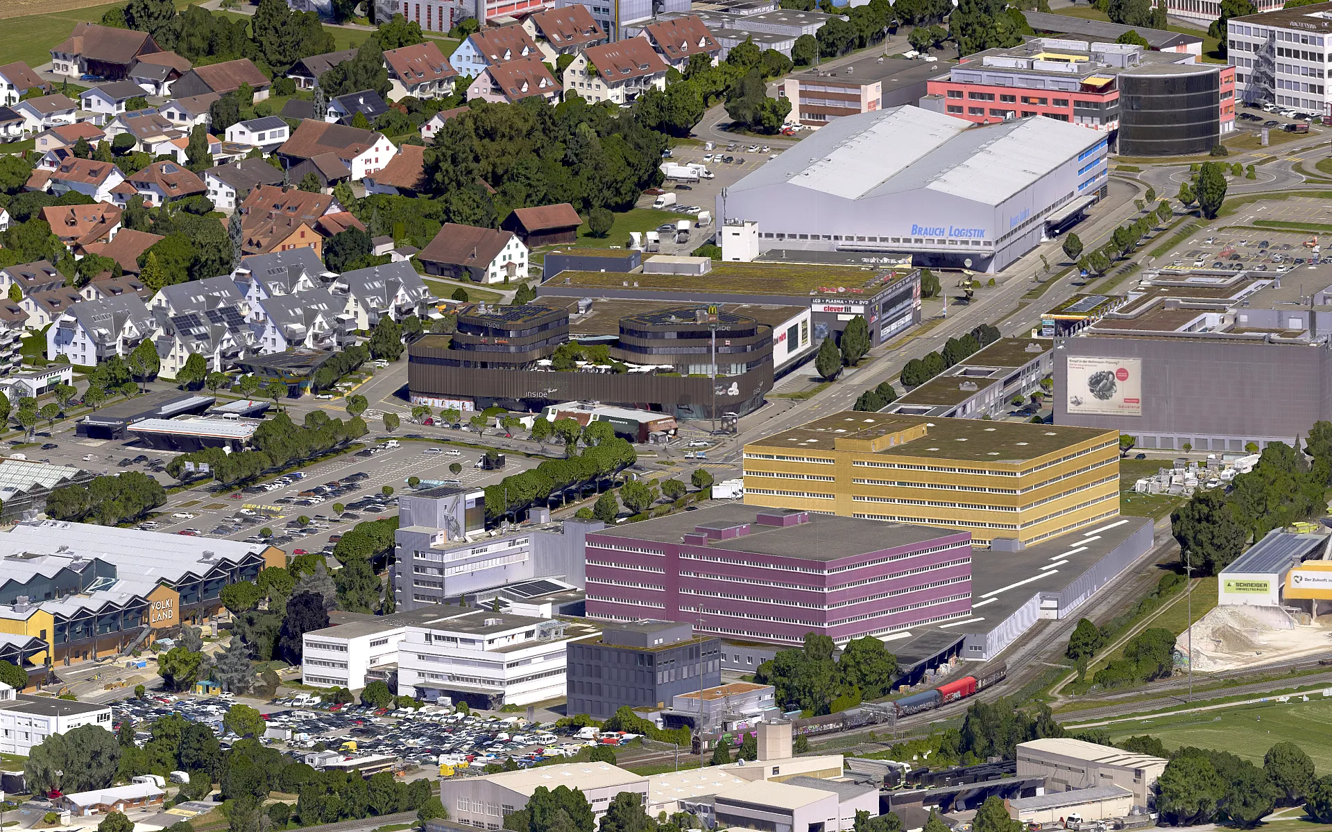
The result is freely accessible in the 3D viewer on the WiVo* website. Because buildings appear in their real colors and signage on shops and public spaces remains legible, visitors find their way around immediately. The model feels familiar and stays readable even for non-experts.
We surveyed the 3.3 km² area by helicopter and processed more than 6,300 aerial images. The result is a textured 3D mesh and a true orthophoto at 3 cm/px resolution. 81 ground control and check points ensure accuracy, with an RMSE of 1.15 cm.
A key requirement was performance, since the scene runs directly in the browser. When processing and texturing the mesh, we made sure the model renders smoothly despite its size. As in all our projects, the data was created in close collaboration with the client, in this case with MAS StadtRaum Architekten and with Birdly by Somniacs, so that it truly works in its intended use.
MAS StadtRaum Architekten then extended the scene with CAD data of the planned development and added further content such as company locations and virtual tours.
The result is freely accessible in the 3D viewer on the WiVo* website. Because buildings appear in their real colors and signage on shops and public spaces remains legible, visitors find their way around immediately. The model feels familiar and stays readable even for non-experts.
Key figures
Area
3.3 km²
Resolution
3 cm/px
Accuracy
1.15 cm (RMSE)
Images
over 6,300
Image gallery
Planning a similar project?
We are happy to advise and create a tailored offer.