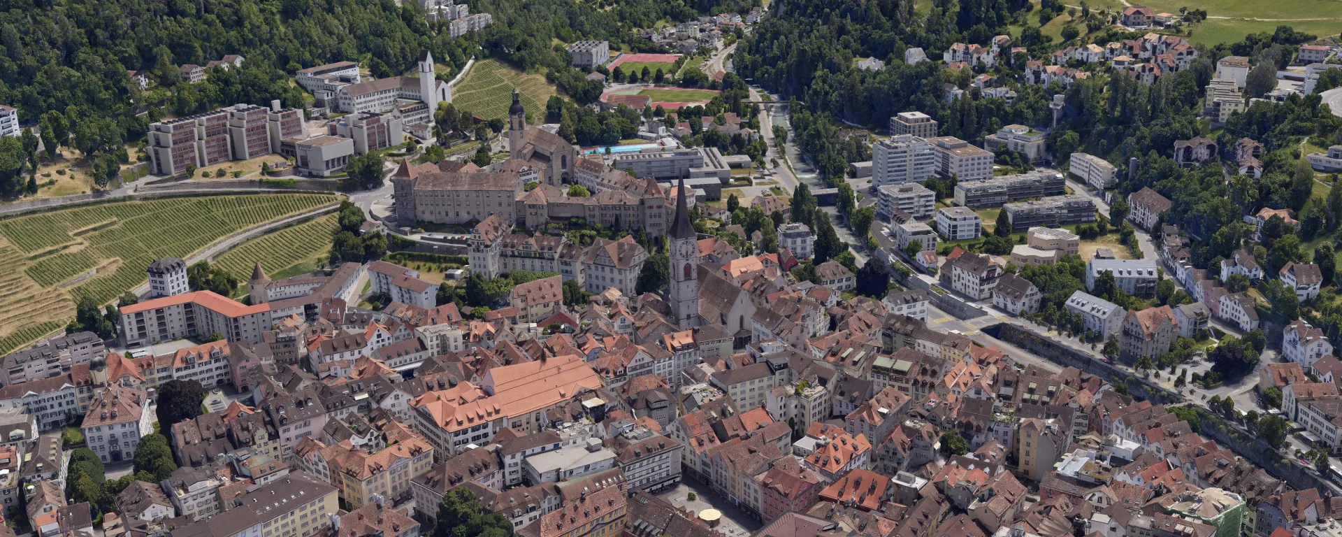
Orthophoto and 3D Mesh for the City of Chur
The city of Chur keeps its geodata up to date. Orthophoto and 3D mesh from a helicopter survey, freely accessible to everyone in the 3D city map.
Project data
About this project
The city of Chur updates its geodata at short intervals so that planning and administration can always rely on current base data. As throughout the canton of Graubünden, these datasets are available to the public free of charge. This creates economic value, as architecture firms, construction companies and other industries build directly on the data.
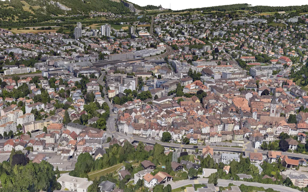
For the 2023 update, we flew the area of the municipalities of Chur and Trimmis by helicopter. We captured vertical and oblique imagery, meaning photos taken straight down and at an angle toward buildings and terrain, which also allows facades to be represented realistically in the 3D model.
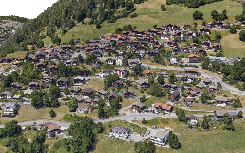
The terrain around Chur and Trimmis is steep and cut by valleys. Careful flight planning was therefore essential to achieve the required ground resolution across this demanding area. In total, more than 19,000 images were captured over an area of around 29.9 km².
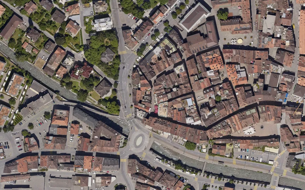
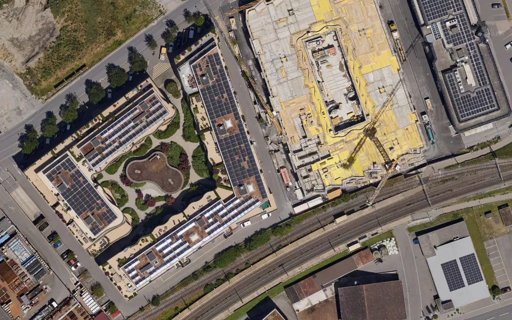
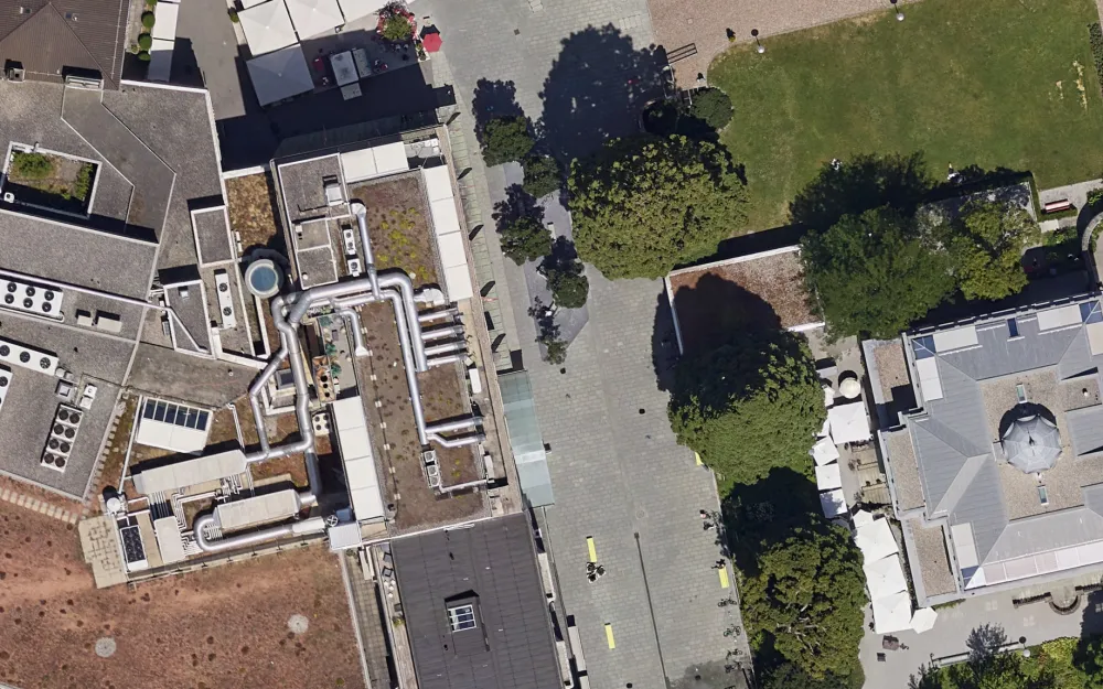
From this imagery, we produced an orthophoto, a true-to-scale and distortion-free aerial image, as well as a textured 3D mesh, both at a resolution of 4 cm/px.
The data serves as official base geodata and is freely accessible online in the 3D city map of Chur, for the administration as well as for residents and businesses.
For the 2023 update, we flew the area of the municipalities of Chur and Trimmis by helicopter. We captured vertical and oblique imagery, meaning photos taken straight down and at an angle toward buildings and terrain, which also allows facades to be represented realistically in the 3D model.
The terrain around Chur and Trimmis is steep and cut by valleys. Careful flight planning was therefore essential to achieve the required ground resolution across this demanding area. In total, more than 19,000 images were captured over an area of around 29.9 km².
From this imagery, we produced an orthophoto, a true-to-scale and distortion-free aerial image, as well as a textured 3D mesh, both at a resolution of 4 cm/px.
The data serves as official base geodata and is freely accessible online in the 3D city map of Chur, for the administration as well as for residents and businesses.
Key figures
Area
29.9 km²
Resolution
4 cm/px
Images
over 19,000
Capture
Helicopter
Image gallery
Planning a similar project?
We are happy to advise and create a tailored offer.