
Precise surveying.
Clear decisions.
High-resolution geodata. The right solution for every project.
Geotrend is one of the recognised specialists in airborne surveying. Whether drone, helicopter or aeroplane, we have the right aircraft and the right sensors for every task. You receive everything from one source.
For complementary products and services we draw on an established network of proven partners. You do not need to be a surveying expert. We speak your language, understand your requirements and develop together with you the solutions that truly add value to your project.
Gaussian Splats
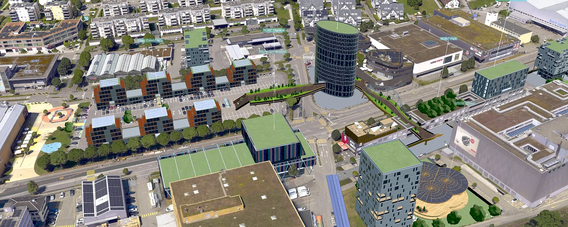
Explore your project as a walkable 3D scene. Photorealistic, from every angle. Ideal for presentations, documentation and decisions based on real-world impressions.

3D Models & Meshes
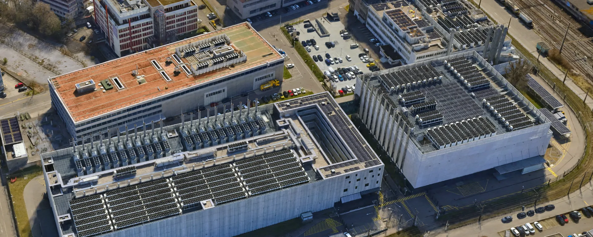
Millimetre-accurate 3D models with realistic texture. Ready to use in CAD, GIS and visualisation software. Ideal for digital twins, urban planning visualisation, volume calculations and structural analyses.

True and CIR Orthophotos
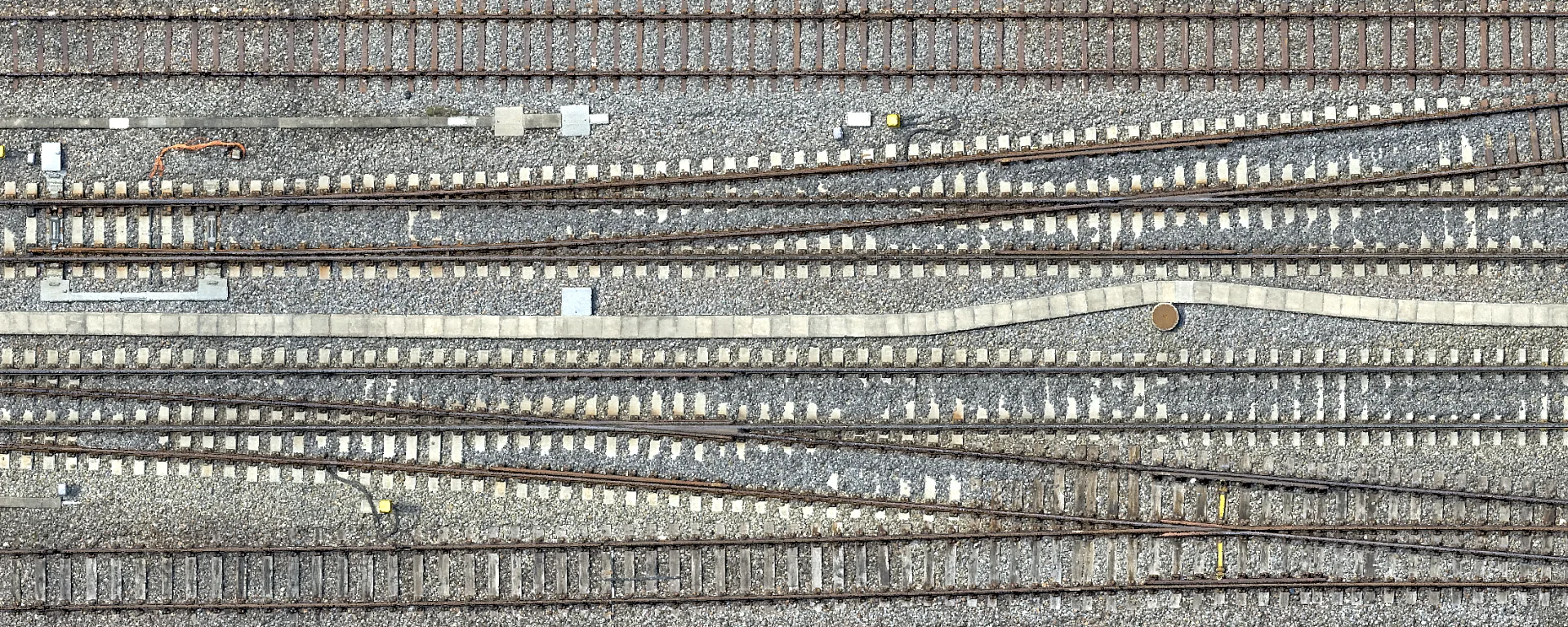
True-to-scale aerial images without perspective distortion. Every pixel precisely georeferenced. The foundation for planning, documentation and analysis.

 RGB
CIR
RGB
CIR
Elevation Models, Environmental Monitoring and Planning
Digital terrain and surface models for environmental monitoring, simulations, construction planning and volume calculations.

Classified Point Clouds
Dense point clouds in which every point is assigned to a category. Ground, vegetation, buildings, bridges and more. The basis for engineering surveying, terrain and building models or detailed analyses.

Multispectral and NIR Imagery
Specialised sensors also capture light outside the visible spectrum. This makes it possible to reliably detect vegetation health, soil moisture, environmental changes or defects in solar installations.

Inspections, Detail Imagery and Corridor Mapping
Infrastructure and structures such as roads, high-voltage lines, roofs or hard-to-reach facilities can be inspected and surveyed safely from the air, individually or along corridors. High-resolution images, point clouds and 3D models enable precise capture.

Impressions from our projects
Here you will find images of our products and from our projects. Choose a dataset and browse through the examples.


Tailored to your software
Whether CAD, BIM, GIS or 3D visualisation, we deliver every data product in the right file format, with suitable tiling and in the coordinate system you need, so everything works in your software without extra steps.
3D & Visualisation
- icRoom
- LUUCY
- Geoplex
- Blender
- SketchUp
- Unreal Engine / Unity
- Lumion
- Autodesk 3ds Max
- Cesium
- Cinema 4D
CAD & BIM
- AutoCAD
- Civil 3D
- Revit
- ARCHICAD
- Allplan
- Rhino
- Tekla Structures
- Navisworks
- MicroStation
- Vectorworks
GIS & Specialist Software
- blueMAP
- Geoportal.ch
- QGIS
- Esri ArcGIS
- FME
- Leica Cyclone
- Trimble Business Center
- Autodesk ReCap
- CloudCompare
- Potree
Examples of delivered formats:
- LAS
- LAZ
- E57
- DWG
- DXF
- IFC
- OBJ
- FBX
- glTF
- GLB
- 3D Tiles
- GeoTIFF
- ECW
- JPEG 2000
- TIFF/TFW
- XYZ
- ASCII-Grid
- JPEG
- PNG
Is your software not listed? We will find the right format for you.
Get in touchSelected projects
Partners & Technology












Are you planning a project?
Talk to us. For a no-obligation consultation or a direct quote request.