Point Cloud Fusion at Reichenau-Tamins Station
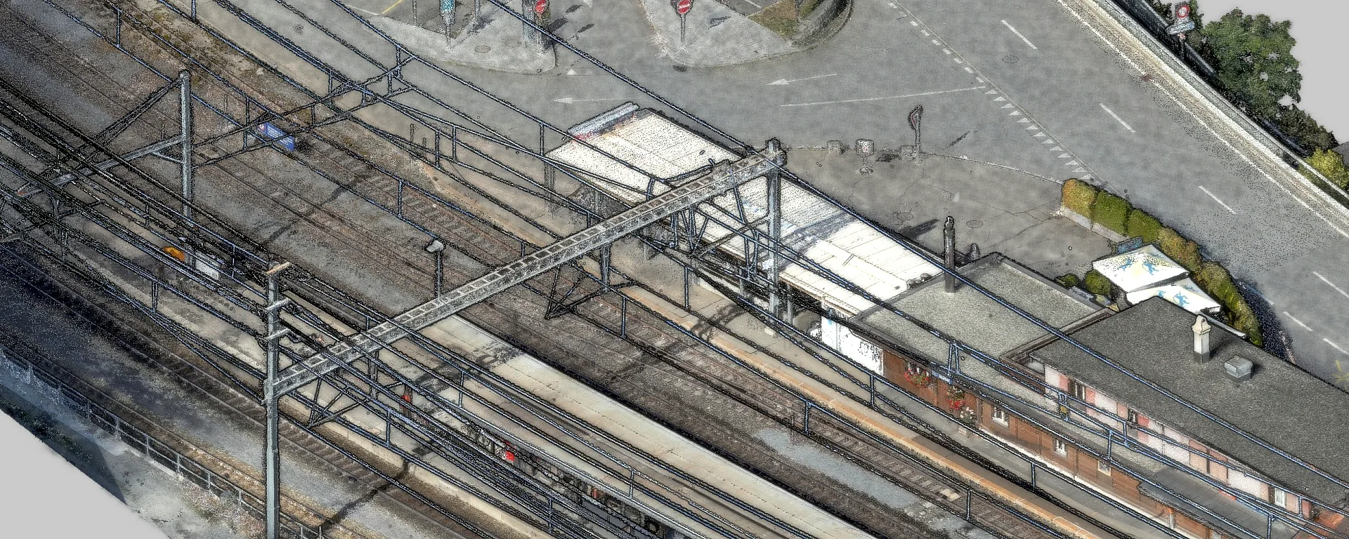
At the Reichenau-Tamins RhB station, we merged drone imagery, airborne LiDAR and terrestrial scans into one point cloud and verified its accuracy.
Project data
About this project
At the Reichenau-Tamins station, we investigated how accurately photogrammetric point clouds can be combined with airborne and terrestrial LiDAR. It was our own development, coordinated with the drone unit of the Rhaetian Railway (RhB).
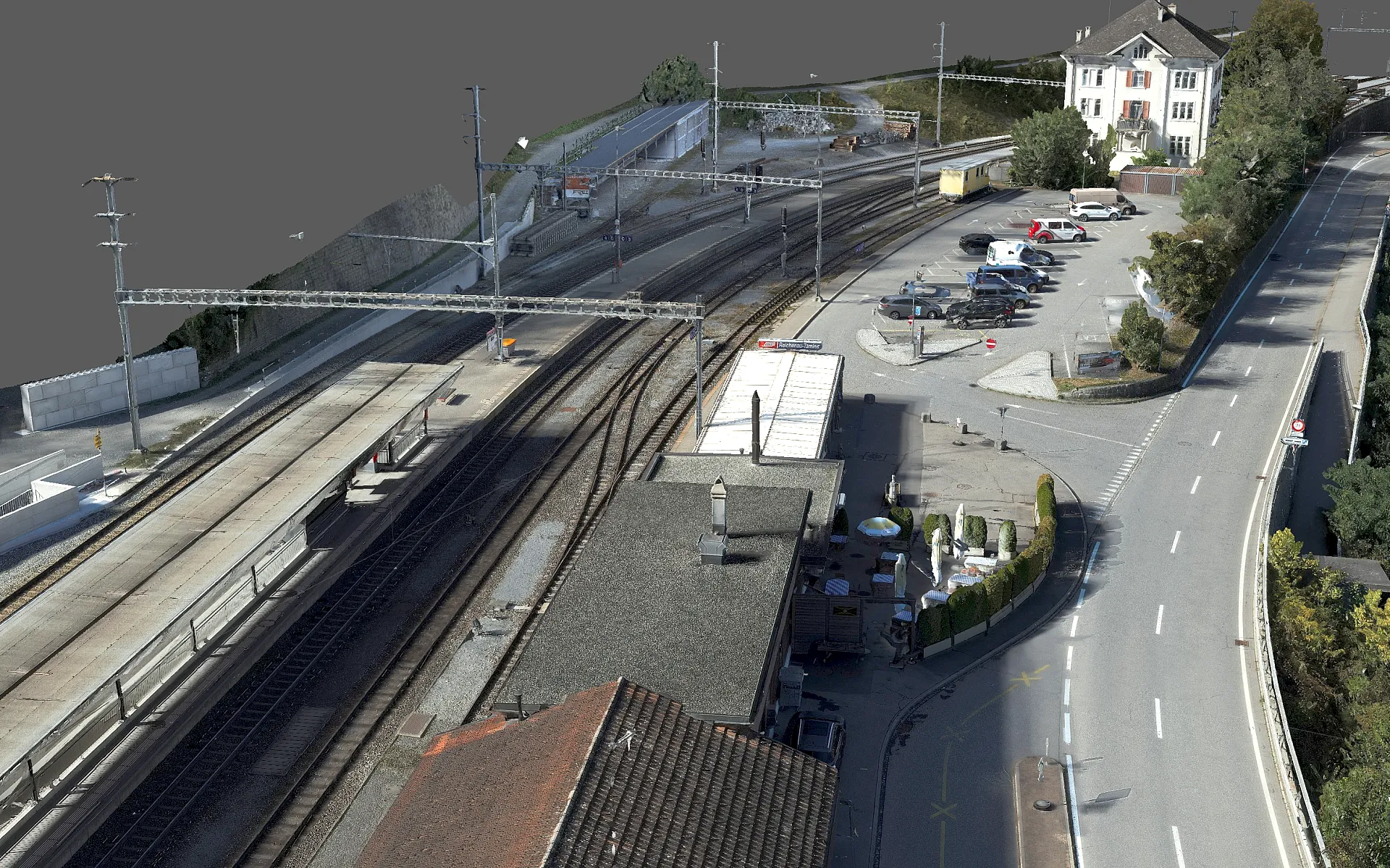
We captured the station area by drone in separate camera and LiDAR flights, complemented by terrestrial laser scanners. We planned the flights so that as few trains as possible appeared in the imagery. Over 6,300 aerial images and around 926 million LiDAR points were collected.
Merging such datasets is demanding because each source is georeferenced differently. Photogrammetry is aligned through aerial triangulation, the joint, control-point-based orientation of all images. The LiDAR relies on a flight trajectory from satellite navigation and inertial sensors, the terrestrial scans on their setup positions. Small errors in any of these chains show up as offsets, rotations or tilts between the point clouds, visible as doubled edges or shifted surfaces.
We therefore used ground control points that work for photogrammetry and LiDAR alike. The network was measured by total station and adjusted to millimeter accuracy in the Swiss coordinate system LV95.
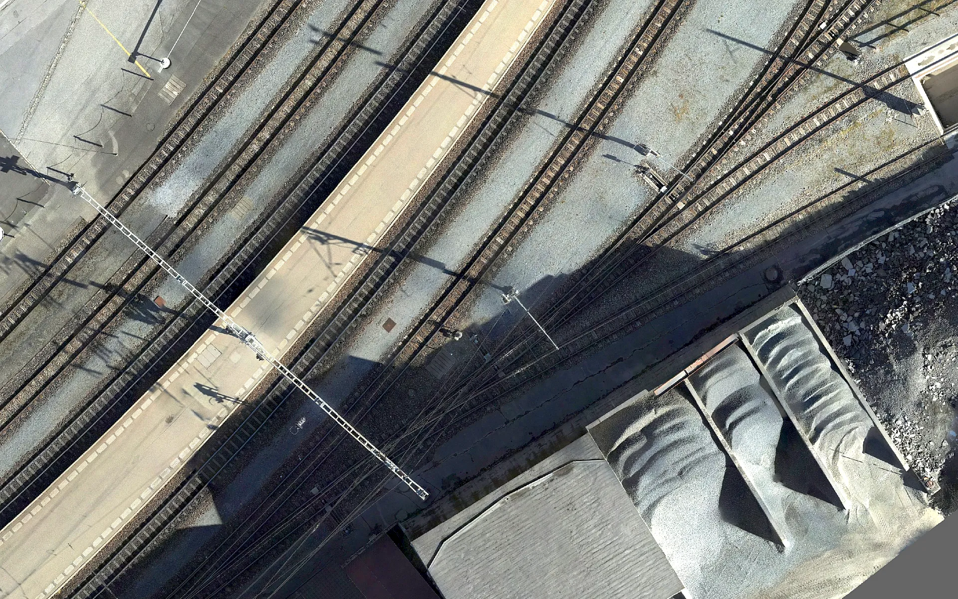
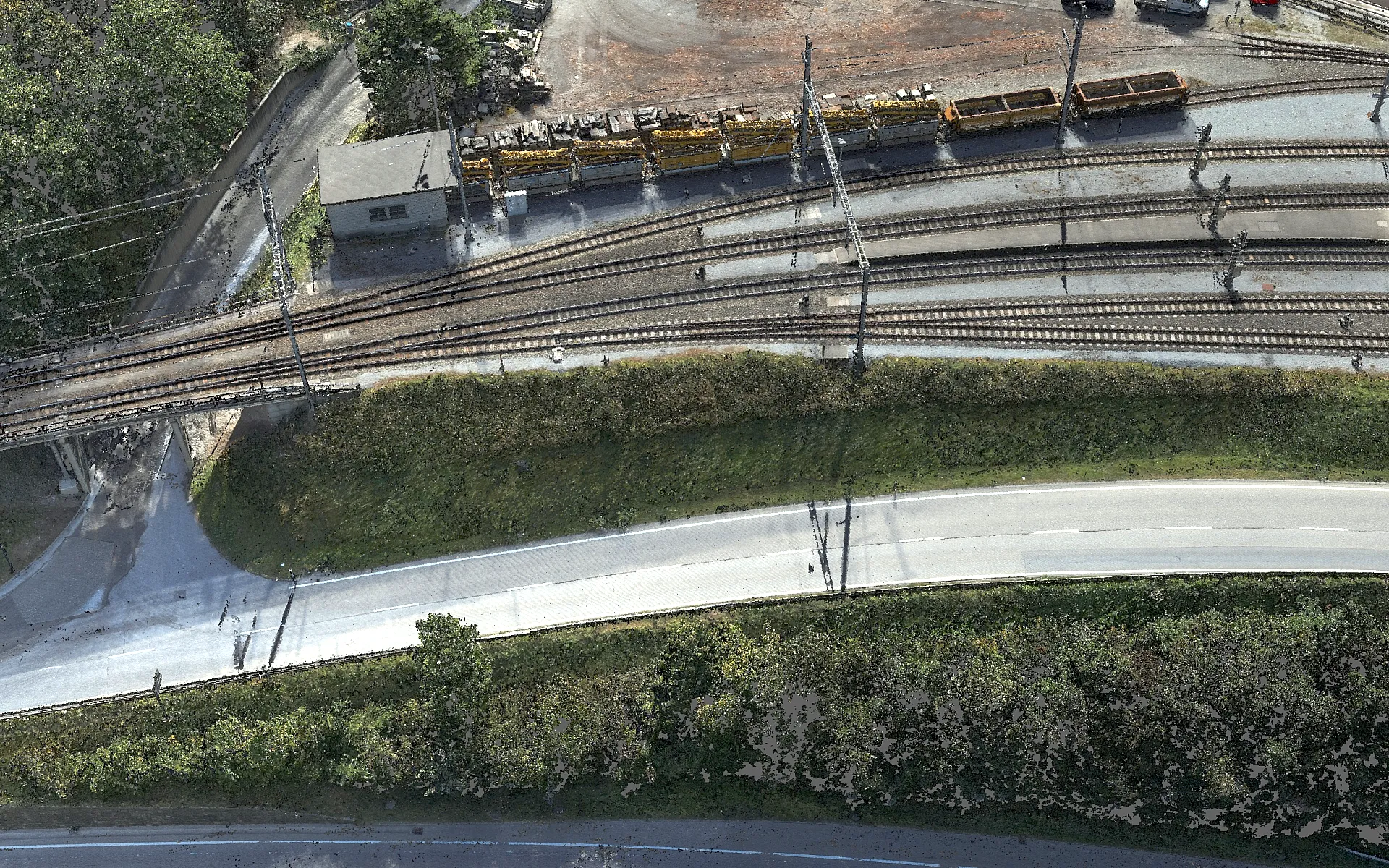
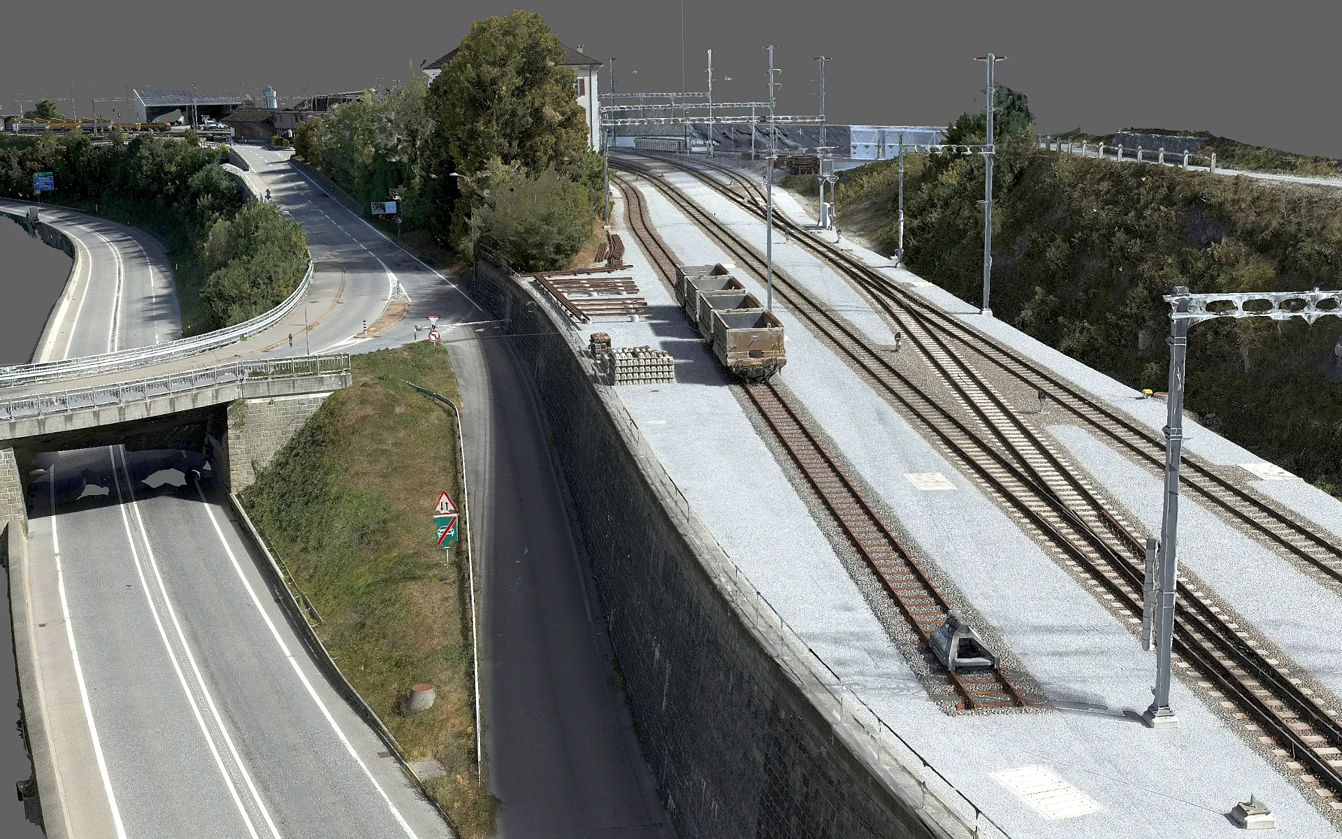
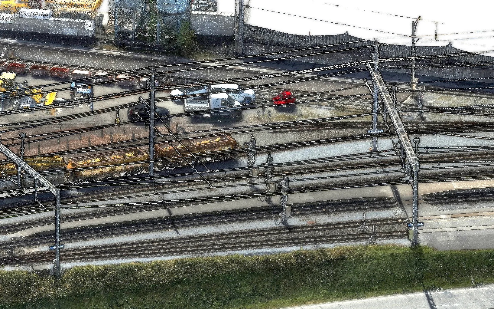
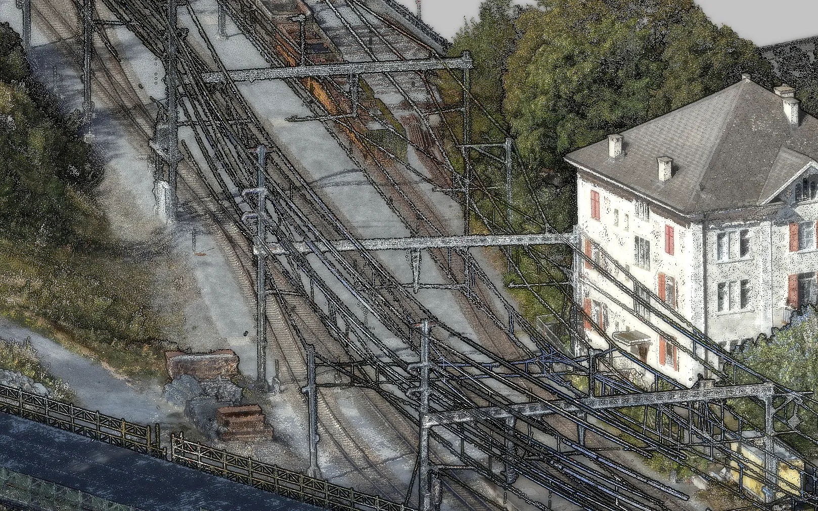
The result is a combined dataset with no measurable deviations in position, rotation or tilt, accurate to better than one centimeter at independent check points. Deliverables include a point cloud colorized from the aerial images, a textured 3D mesh, a 5 mm/px true orthophoto and elevation models at 1.5 cm resolution.
The workflow now supports future surveys along railway infrastructure where completeness and verified accuracy are essential.
We captured the station area by drone in separate camera and LiDAR flights, complemented by terrestrial laser scanners. We planned the flights so that as few trains as possible appeared in the imagery. Over 6,300 aerial images and around 926 million LiDAR points were collected.
Merging such datasets is demanding because each source is georeferenced differently. Photogrammetry is aligned through aerial triangulation, the joint, control-point-based orientation of all images. The LiDAR relies on a flight trajectory from satellite navigation and inertial sensors, the terrestrial scans on their setup positions. Small errors in any of these chains show up as offsets, rotations or tilts between the point clouds, visible as doubled edges or shifted surfaces.
We therefore used ground control points that work for photogrammetry and LiDAR alike. The network was measured by total station and adjusted to millimeter accuracy in the Swiss coordinate system LV95.
The result is a combined dataset with no measurable deviations in position, rotation or tilt, accurate to better than one centimeter at independent check points. Deliverables include a point cloud colorized from the aerial images, a textured 3D mesh, a 5 mm/px true orthophoto and elevation models at 1.5 cm resolution.
The workflow now supports future surveys along railway infrastructure where completeness and verified accuracy are essential.
Key figures
Area
7.4 ha
Images
6,392
LiDAR points
926 million
Resolution
5 mm/px
Accuracy
under 1 cm
Image gallery
Planning a similar project?
We are happy to advise and create a tailored offer.