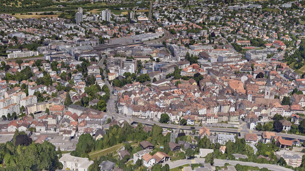

Up-to-date geodata for the whole municipality
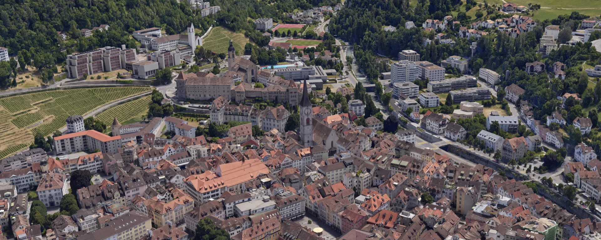
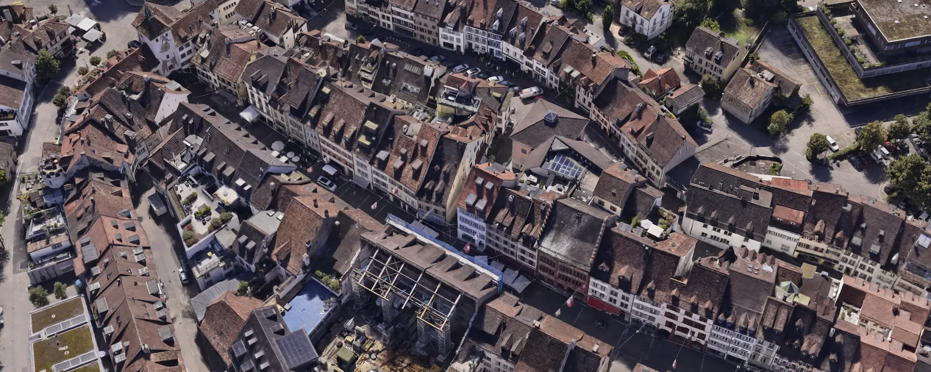
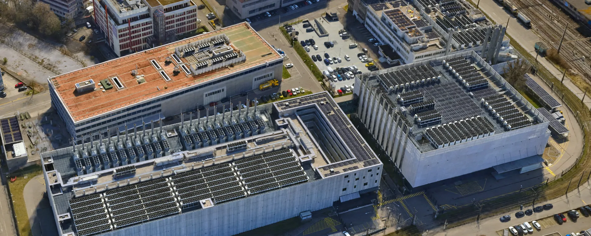
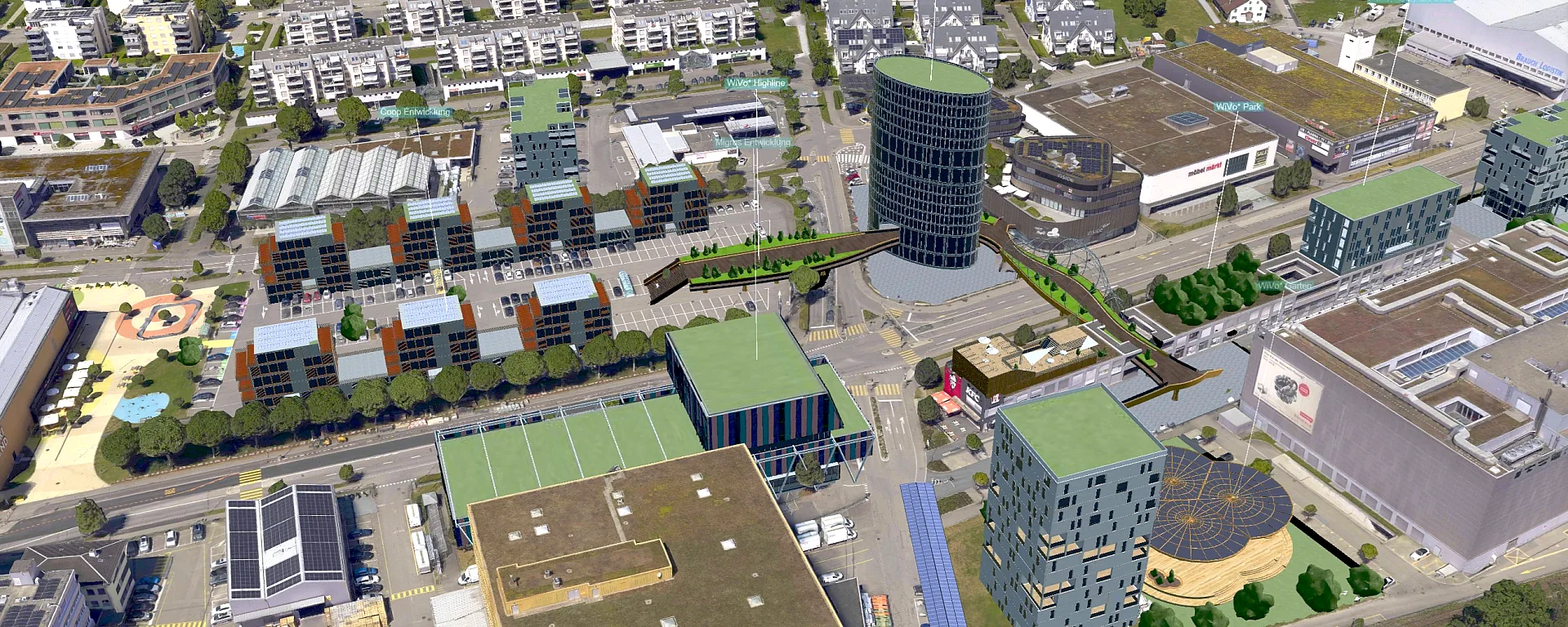
Periodic photo flights secure a complete, high-resolution data basis for the entire municipal area. True orthophotos and textured 3D meshes can be integrated directly into municipal geoportals and are available to the administration, specialist planners and the public.
Related services