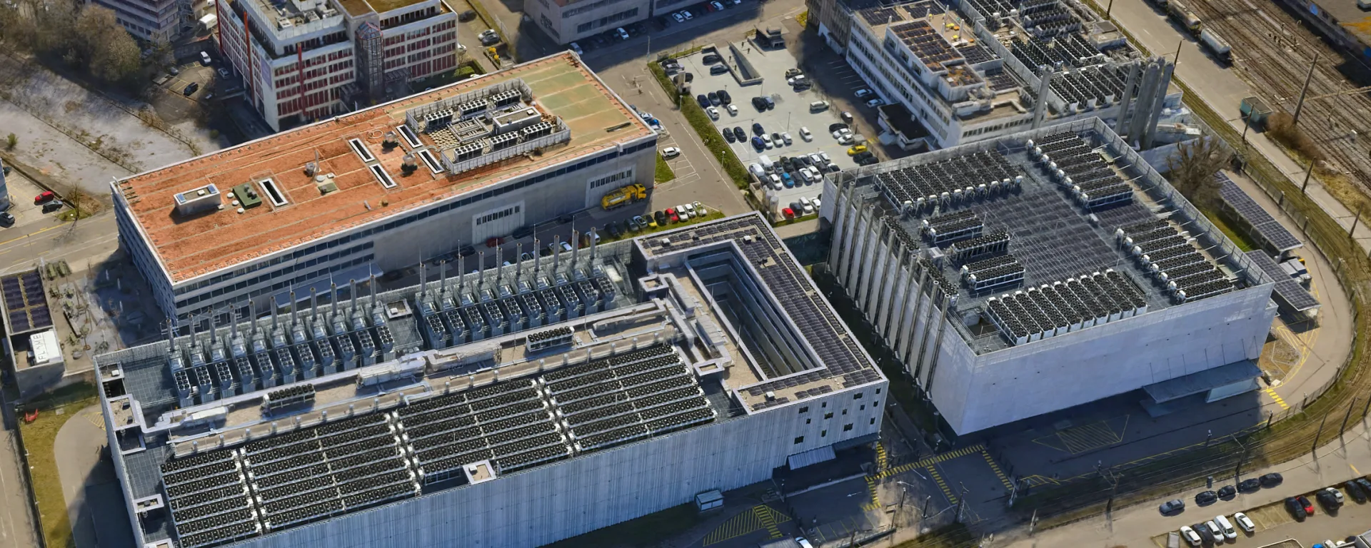
3D Mesh for the Urban Development of Opfikon
Aerial data for urban development in Opfikon, flown by helicopter just 700 m from the runway at Zurich Airport, closely coordinated with Skyguide.
Project data
About this project
The city of Opfikon is advancing the development of its industrial and commercial district in the northwest and needed up-to-date base data of the entire perimeter for internal urban planning.
With flat terrain and a compact perimeter, the flying itself was straightforward, the challenge was the location. The area lies just 700 m from runway 34, the longest runway at Zurich Airport. Even when aircraft land from the other side, this airspace must remain clear, for example for go-arounds. Skyguide rejected the first request in 2025 and eventually approved the survey only during the winter flight schedule, within a 75 minute midday window with little outbound traffic. We handled all permits and coordination, so the city had nothing to organize itself.
For the flight, VFR and helicopter traffic in the area was suspended, a NOTAM was published (an official notice informing all pilots of the temporary activity in the airspace) and an alternate landing site was defined so the mission could be interrupted at any time by air traffic control. That happened once, we had to leave the area and wait in the holding zone before resuming the survey. Scheduled traffic always had priority, and the weather had to cooperate within the approved window. We flew in March 2026, in the last possible week before the switch to the summer schedule.
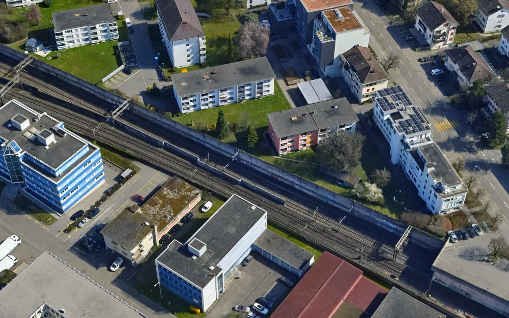
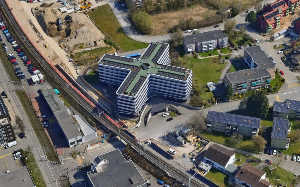
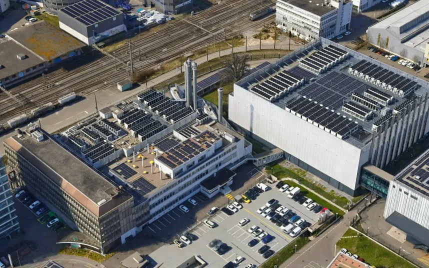
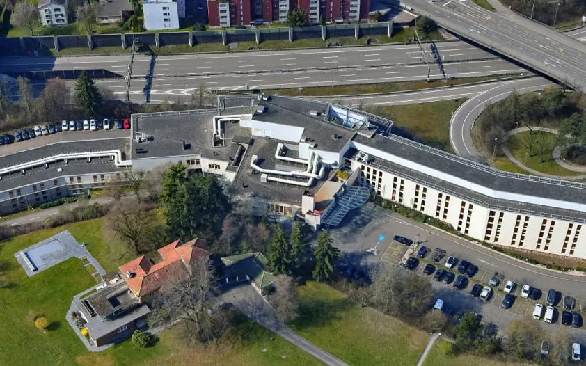
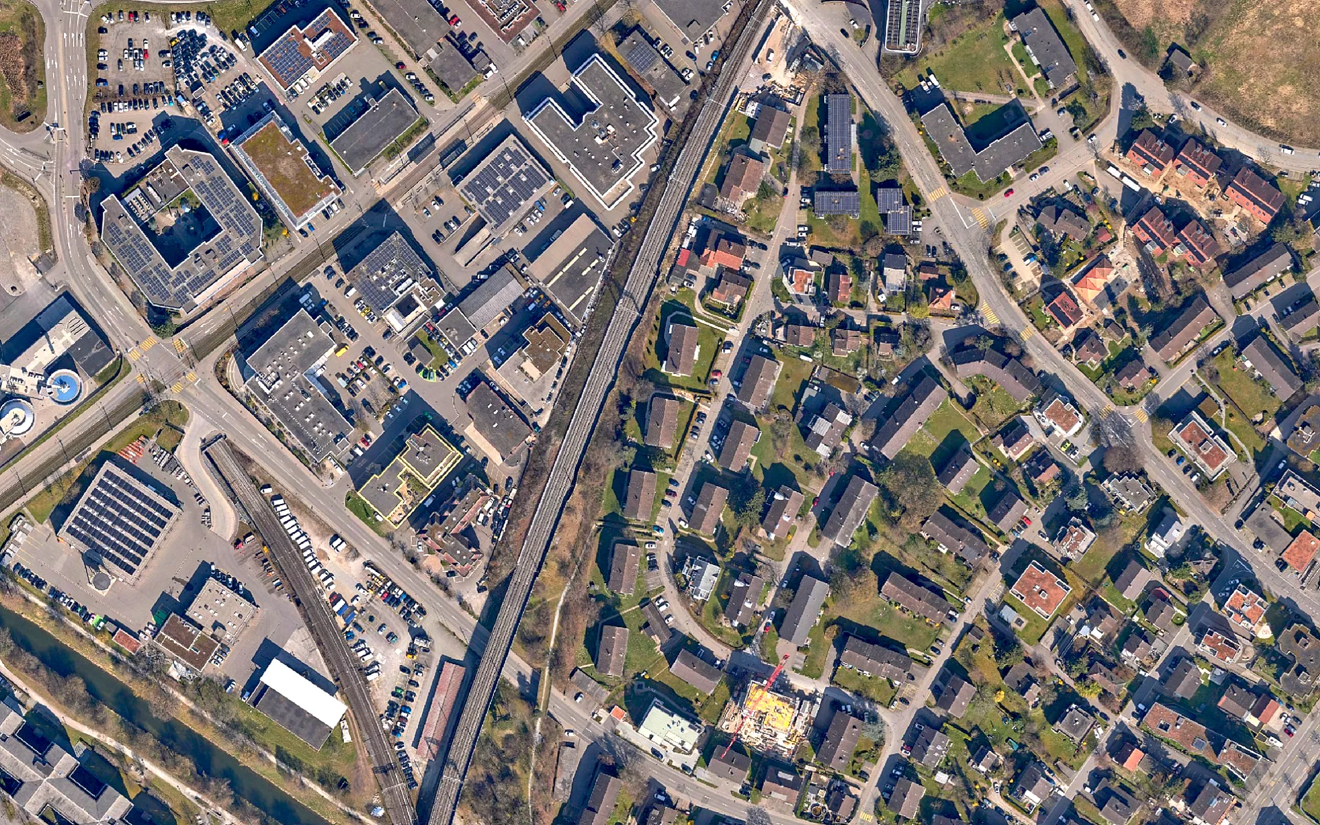
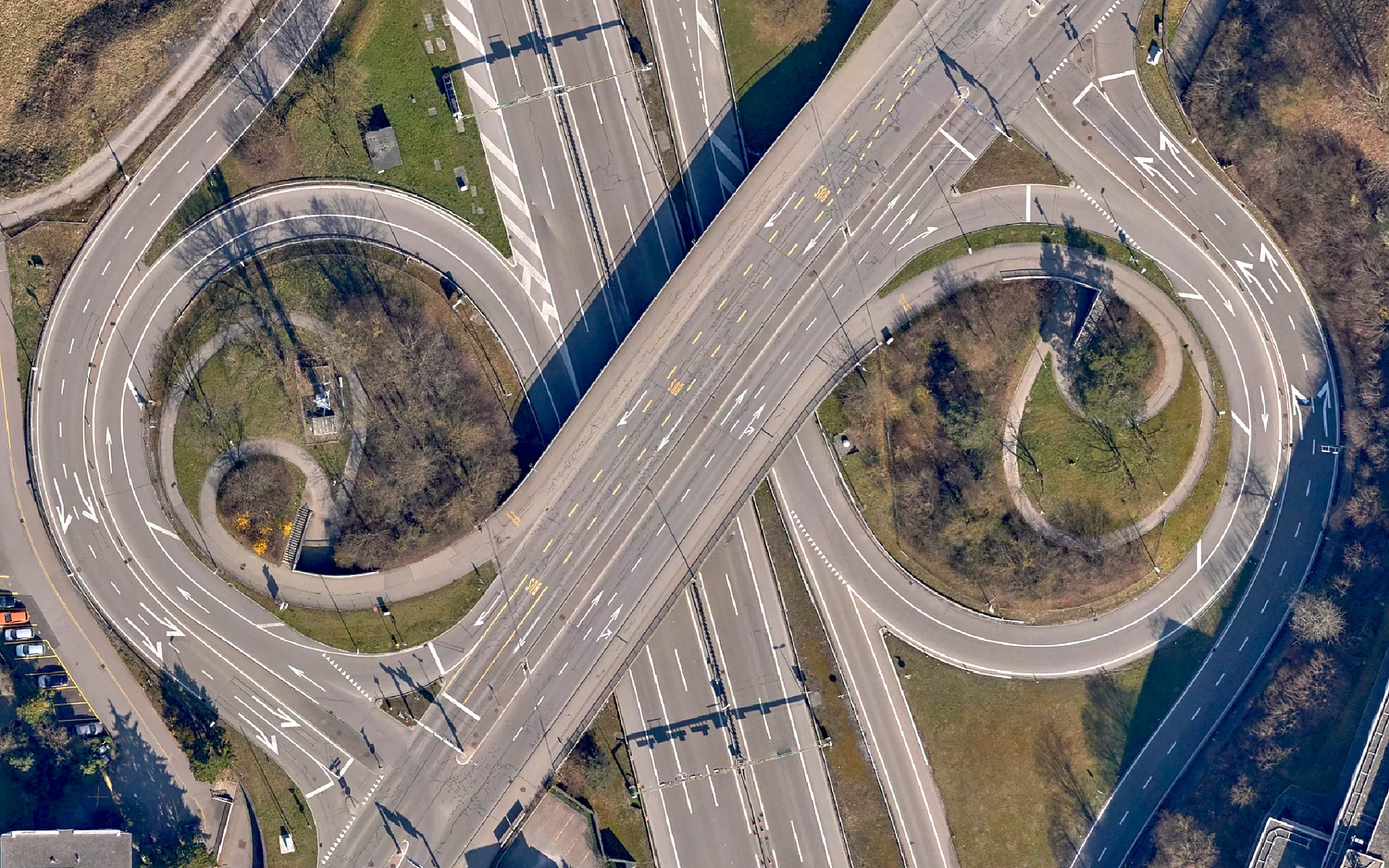
Using a helicopter, we captured roughly 212 hectares in 3,600 nadir and oblique images. The result was an orthophoto with 4 cm resolution, a tiled textured 3D mesh and Gaussian Splats. The city uses the data to plan and develop the district.
With flat terrain and a compact perimeter, the flying itself was straightforward, the challenge was the location. The area lies just 700 m from runway 34, the longest runway at Zurich Airport. Even when aircraft land from the other side, this airspace must remain clear, for example for go-arounds. Skyguide rejected the first request in 2025 and eventually approved the survey only during the winter flight schedule, within a 75 minute midday window with little outbound traffic. We handled all permits and coordination, so the city had nothing to organize itself.
For the flight, VFR and helicopter traffic in the area was suspended, a NOTAM was published (an official notice informing all pilots of the temporary activity in the airspace) and an alternate landing site was defined so the mission could be interrupted at any time by air traffic control. That happened once, we had to leave the area and wait in the holding zone before resuming the survey. Scheduled traffic always had priority, and the weather had to cooperate within the approved window. We flew in March 2026, in the last possible week before the switch to the summer schedule.
Using a helicopter, we captured roughly 212 hectares in 3,600 nadir and oblique images. The result was an orthophoto with 4 cm resolution, a tiled textured 3D mesh and Gaussian Splats. The city uses the data to plan and develop the district.
Key figures
Area
212 ha
Resolution
4 cm GSD
Images
3,600
Runway distance
700 m
Image gallery
Planning a similar project?
We are happy to advise and create a tailored offer.