Drone Survey of Zurich Tiefenbrunnen Station
High-resolution drone survey of Zurich Tiefenbrunnen station in the LV95 SBB reference frame as a planning basis for the 2029 track renewal.
Project data
About this project
Swiss Federal Railways (SBB) is preparing the 2029 track renewal at Zurich Tiefenbrunnen station. The planning work requires highly precise, high-resolution base data. We carried out the assignment as SBB's framework contract partner for point cloud production in eastern Switzerland. The survey in Tiefenbrunnen is one of several projects we have already completed under this framework agreement.
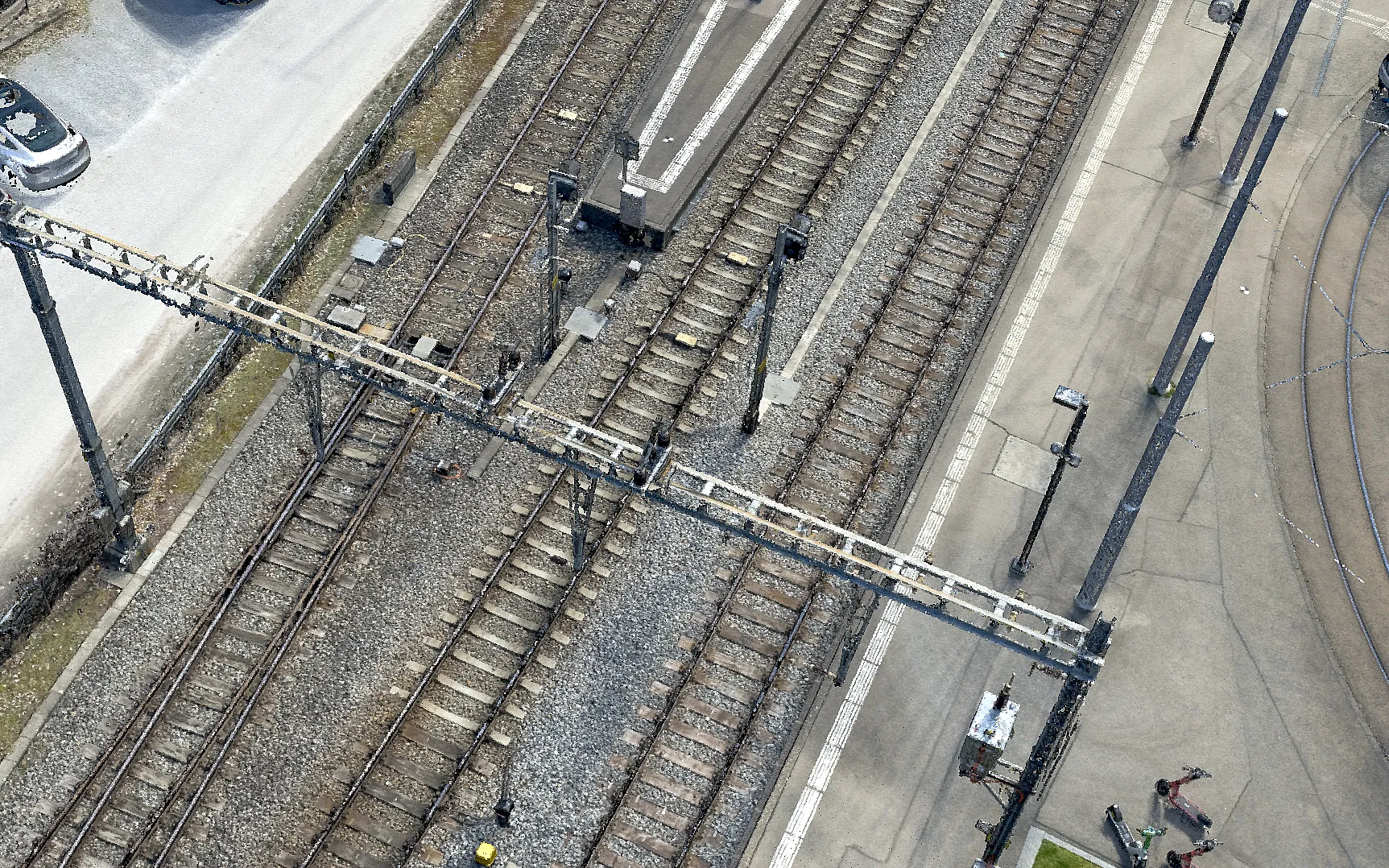
Using a drone, we flew the station area with a combined nadir and oblique flight plan, meaning images taken both vertically and at an angle. In total, more than 3,000 aerial images were captured.
A key requirement was the LV95 SBB reference frame, the railway's own coordinate system. The images were georeferenced using the points of the track survey network, the permanently marked control network along the tracks, together with additional ground control points fitted and adjusted to it. The ground control points achieve an RMSE of 4.8 mm, a mean deviation of less than half a centimeter. Independent check points confirm the accuracy at 5.1 mm.
The pedestrian underpass was additionally captured in high resolution by VDE using terrestrial laser scanning (TLS). We combined these scans with the photogrammetric data into one consistent dataset.
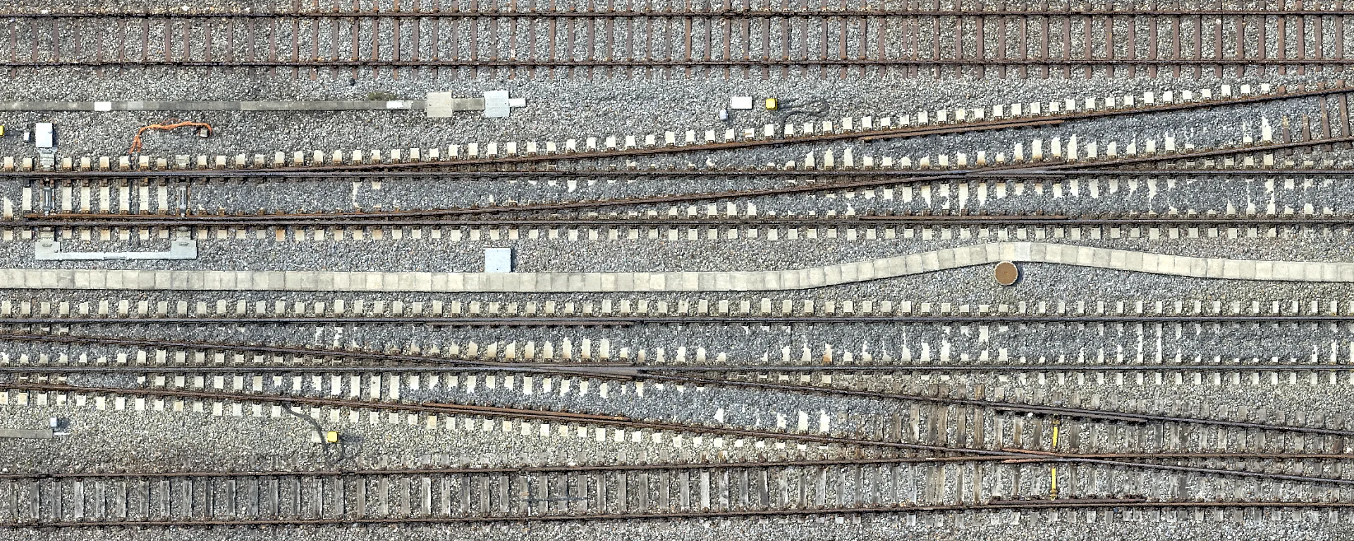
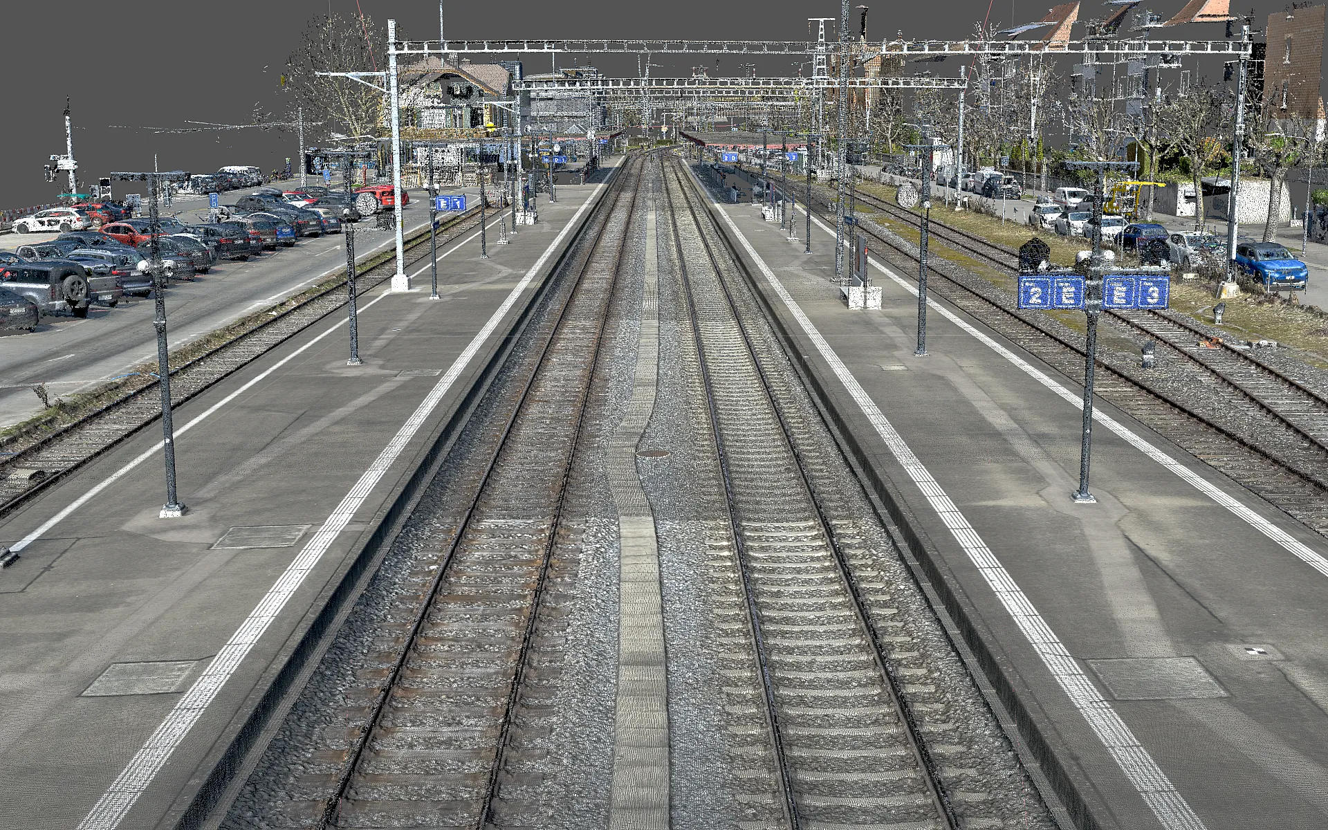
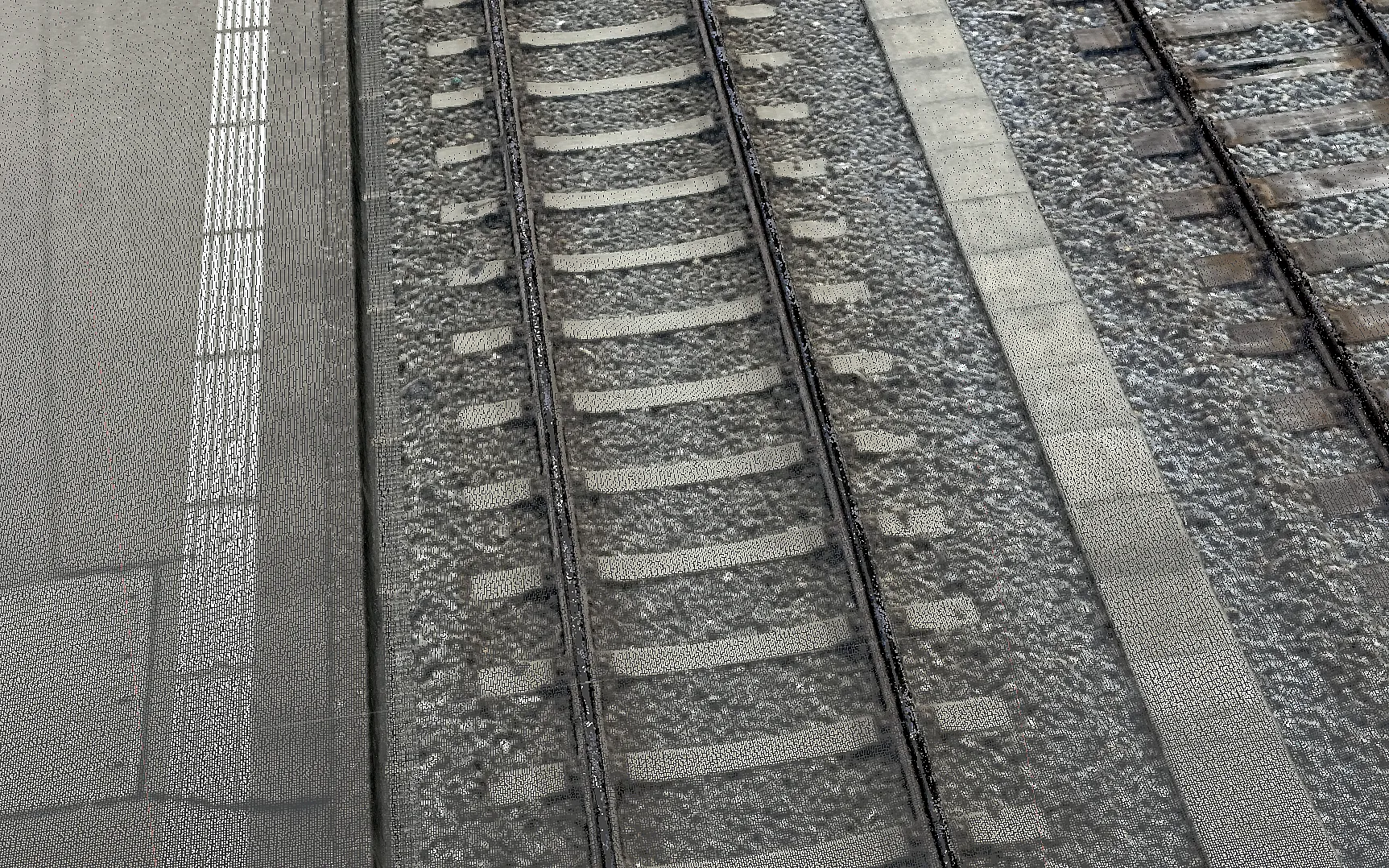
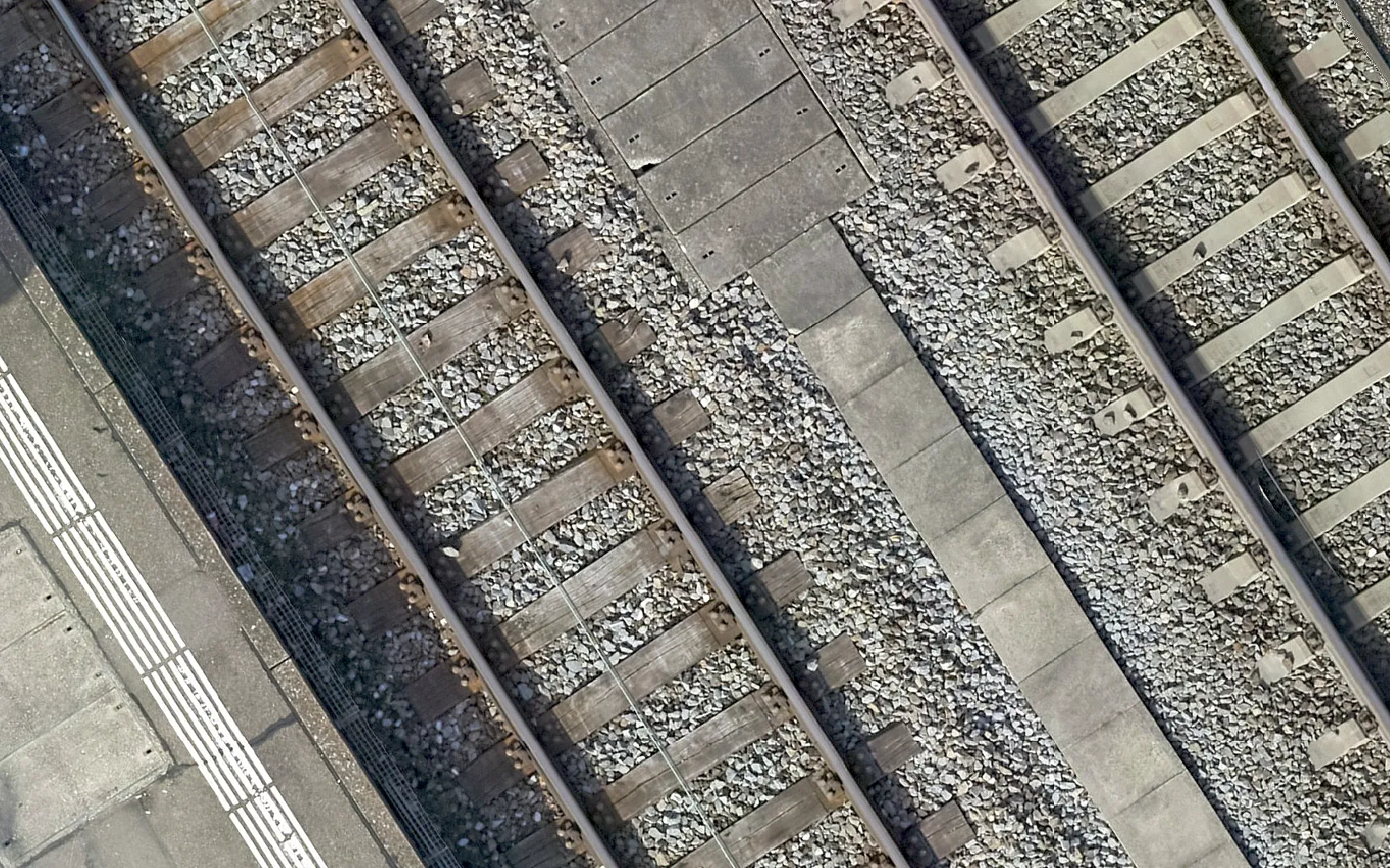
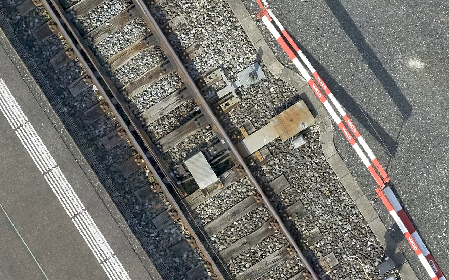
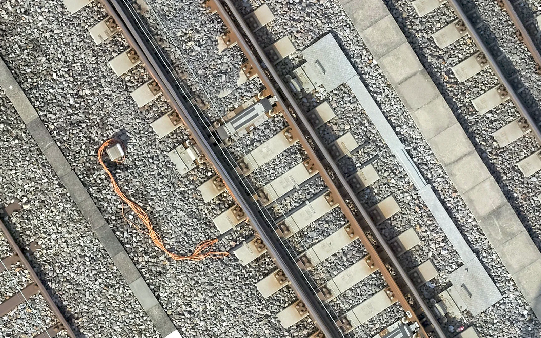
The deliverables include a photogrammetric point cloud with a point spacing of 1 cm, a digital surface model (DSM) at 1.0 cm resolution and a true orthophoto at 5 mm ground resolution covering the entire perimeter.
All products are provided in the LV95 SBB reference frame and give SBB a reliable basis for planning the 2029 track renewal.
Using a drone, we flew the station area with a combined nadir and oblique flight plan, meaning images taken both vertically and at an angle. In total, more than 3,000 aerial images were captured.
A key requirement was the LV95 SBB reference frame, the railway's own coordinate system. The images were georeferenced using the points of the track survey network, the permanently marked control network along the tracks, together with additional ground control points fitted and adjusted to it. The ground control points achieve an RMSE of 4.8 mm, a mean deviation of less than half a centimeter. Independent check points confirm the accuracy at 5.1 mm.
The pedestrian underpass was additionally captured in high resolution by VDE using terrestrial laser scanning (TLS). We combined these scans with the photogrammetric data into one consistent dataset.
The deliverables include a photogrammetric point cloud with a point spacing of 1 cm, a digital surface model (DSM) at 1.0 cm resolution and a true orthophoto at 5 mm ground resolution covering the entire perimeter.
All products are provided in the LV95 SBB reference frame and give SBB a reliable basis for planning the 2029 track renewal.
Key figures
Resolution
5 mm/px
Point spacing
1.0 cm
Accuracy
RMSE 5.1 mm
Images
over 3,000
Reference frame
LV95 SBB
Image gallery
Planning a similar project?
We are happy to advise and create a tailored offer.