Services
Precise geodata, models and analyses, captured by drone, helicopter or aeroplane and delivered in the format of your software.
Our services

Gaussian Splats
Photorealistic 3D scenes for presentations, participation and location marketing.

3D Meshes
Textured 3D meshes of buildings, neighbourhoods and entire cities.

Building Modelling
As-built models of buildings and sites for conversion, renovation and operation, inside and out.

City Models
Building models of an entire municipality with roof shapes, newly created or updated.

Orthophotos
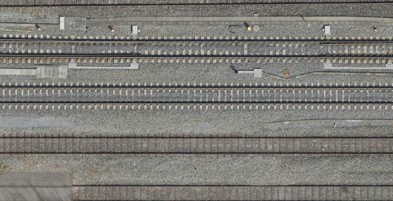
True-to-scale aerial images as true orthophotos, in natural colour and colour infrared.

Point Clouds
Classified point clouds from photogrammetry and LiDAR, with proof of accuracy.

Elevation Models
Terrain and surface models for planning, volumes and natural hazards.

Multispectral
Vegetation indices and thermal images that show what the eye cannot see.

Inspections
Detailed images of bridges, pylons and roofs, without scaffolding or rope access.

Analyses
Volumes, changes, clearances and vegetation, analysed from aerial images and point clouds.
Which data does your project need?
We advise you without obligation and show which services and which platform suit your project.