
Event documentation and damage analysis
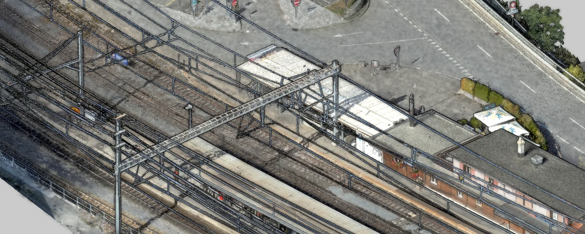
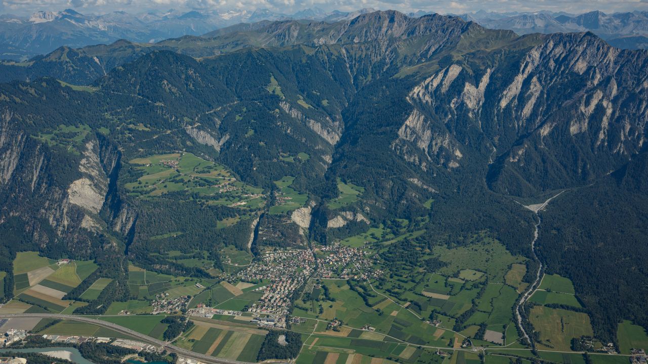
After landslides, debris flows or rockfalls we capture the affected area quickly with drones or helicopter systems. High-resolution orthophotos and difference models quantify the volumes of material lost and deposited and document changes in position completely.
Related services